
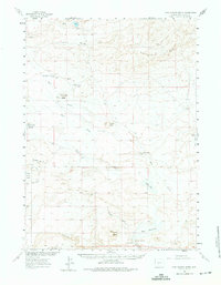
1960 Map of Five Fingers Butte
USGS Topo · Published 1963About this map
The high desert of Sweetwater County is defined here by the sweeping Cyclone Rim, which segments this 1960 landscape into distinct hydrological basins and prominent volcanic landmarks. Prominent buttes such as Five Fingers Butte, Bastard Butte, and Buffalo Hump rise from the terrain, serving as essential landmarks for navigation and land management. The presence of water is carefully documented through numerous named sources including Osborne Spring, Kinch McKinney Spring, and the John Hay Reservoir, highlighting the critical importance of moisture in this arid environment.
Find a feature on this map
28 named features on this map. Tap any name to fly to it.
Don’t see what you’re looking for? This feature index may not catch every label — zoom into the map to look around manually.
Map Details
Editions of this 1960 Five Fingers Butte Map
2 editions found
Other maps of this area

1954 · Rock Springs
USGS Topo · 1:250,000

1955 · Lander
USGS Topo · 1:250,000

1958 · Lander
USGS Topo · 1:250,000

1958 · Rock Springs
USGS Topo · 1:250,000

1958 · Twelvemile Well
USGS Topo · 1:62,500

1958 · Circle Bar Lake
USGS Topo · 1:24,000

1958 · The Pinnacles
USGS Topo · 1:62,500

1960 · Red Lake
USGS Topo · 1:62,500

1960 · Lost Creek Butte
USGS Topo · 1:62,500

1960 · Lost Creek Lake
USGS Topo · 1:62,500