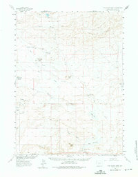
1960 Map of Five Fingers Butte
USGS Topo · Published 1975About this map
Luman Ranch and the surrounding high desert terrain of Sweetwater County define this mid-century survey of the Great Divide Basin. The landscape is marked by prominent geological elevations such as Five Fingers Butte, Bastard Butte, and the Buffalo Hump rise. Water management and livestock operations are evident through a network of isolated water sources like Kinch McKinney Spring and Osborne Spring, alongside the John Hay Reservoir and Hay Reservoir. Transport across the arid flats relied on established routes like Rigby Road and the Luman Road, which connected scattered ranching outposts and resource extraction points like the Bastard Butte Well. The area's topography is further shaped by the Cyclone Rim and the Luman Rim, highlighting the isolation of these Sweetwater County rangelands during the 1960s.
Find a feature on this map
33 named features on this map. Tap any name to fly to it.
Don’t see what you’re looking for? This feature index may not catch every label — zoom into the map to look around manually.
Map Details
Editions of this 1960 Five Fingers Butte Map
2 editions found
Other maps of this area

1954 · Rock Springs
USGS Topo · 1:250,000

1955 · Lander
USGS Topo · 1:250,000

1958 · Lander
USGS Topo · 1:250,000

1958 · Rock Springs
USGS Topo · 1:250,000

1958 · Twelvemile Well
USGS Topo · 1:62,500

1958 · Circle Bar Lake
USGS Topo · 1:24,000

1958 · The Pinnacles
USGS Topo · 1:62,500

1960 · Red Lake
USGS Topo · 1:62,500

1960 · Lost Creek Butte
USGS Topo · 1:62,500

1960 · Five Fingers Butte
USGS Topo · 1:62,500