Old Maps of Jack Pine, Wyoming
Explore 12 old maps of Jack Pine, spanning from 1907 to today. These high-resolution historic maps reveal how streets, neighborhoods, landmarks, and natural features evolved over time — perfect for genealogy, metal detecting, research, and local history exploration.
What you can do with these maps:
- See how Jack Pine changed over time: Compare historical maps to modern-day views to trace roads, homesites, rail lines & more.
- View detailed metadata: Each map includes creators, publishers, year, scale, and archive source.
- Overlay maps with satellite & LiDAR: Visualize the past alongside modern tools to explore terrain & human change.
- Trusted historical sources: Maps sourced from the USGS, Library of Congress, and other archives.
- Access maps your way: View online, download high-res files, or order prints for personal or research use.
Start exploring old maps of Jack Pine to uncover forgotten places, hidden landmarks, and the deep history beneath your feet.
Jack Pine, WY maps
(12)- 1907 Map of Gros Ventre, 1957 Print
 1907 Gros Ventre1957 Print · USGSRanching life in the Wyoming high country is captured here during the first decade of the century, detailing the homesteads of the Gros Ventre Range. Researchers can trace the legacy of early settlers at Old Kendall and Kendall, or locate family-named landmarks like Loomis Ranch and Twin Creek School.
 - 1910 Map of Gros Ventre
 1910 Gros Ventre1910 Print · USGSThe Gros Ventre Range is shown in the early twentieth century as a network of isolated family homesteads and early forest reserves. Genealogists and historians can trace pioneer roots at Bondurant, Twin Creek School, and Darwin Ranch.3 unique versions available
 - 1955 Map of Driggs, 1967 Print
 1955 Driggs1967 Print · USGSEastern Idaho and Western Wyoming appear at a mid-century crossroads as the river valleys were fully settled and the high peaks protected. Genealogists and researchers can trace the rail towns of Rexburg and Driggs or follow the Snake River from Irwin to the Palisades Reservoir.3 unique versions available
 - 1958 Map of Driggs
 1958 Driggs1958 Print · USGSThe high Teton peaks and Snake River valleys are captured here in the mid-fifties, showing the region's agricultural and wilderness boundaries. Researchers can trace the Union Pacific rail corridor through Rexburg or locate early settlements like Clementsville and Tetonia.2 unique versions available
 - 1962 Map of Driggs
 1962 Driggs1962 Print · USGSThe Idaho-Wyoming borderlands are captured here in the early sixties, showing the peaks and valleys of the northern Rockies. Genealogists and historians can trace rail lines like the Union Pacific RR and isolated outposts like the National Elk Refuge or the Fort Hall Indian Reservation.
 - 1967 Map of Granite Falls, 1971 Print
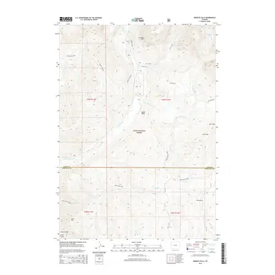
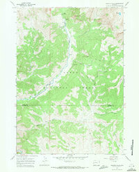 1967 Granite Falls1971 Print · USGSTeton and Sublette counties meet in this high-forest landscape during the late sixties, a time of both backcountry recreation and resource scouting. Researchers can trace the Pack Trail network past the Hot Spring or locate industrial sites like the Oil Wells and a local Mine.
 - 1981 Map of Jackson
 1981 Jackson1981 Print · USGSThe high valleys and peaks surrounding Jackson were undergoing subtle transitions in the early eighties. Genealogists and researchers can trace old mountain outposts like Bondurant, the location of Camp Davis, and the roads leading to Astoria Mineral Hot Springs.
 - 1996 Map of Granite Falls, 1998 Print
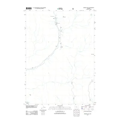
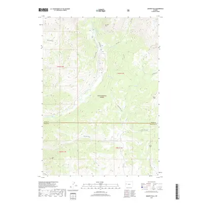
 1996 Granite Falls1998 Print · USGSTeton and Sublette counties are captured here in the mid-1990s, showcasing a wild landscape managed for both recreation and resource extraction. Researchers can locate Granite Hot Springs, the remote Oil Well, and back-country Corrals along the water.
 - 2012 Map of Granite Falls, 2012 Print
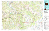
 2012 Granite Falls2012 Print · USGSCovers Jack Pine, including Teton County, Sublette County, and other nearby areas
 - 2015 Map of Granite Falls, 2015 Print
 2015 Granite Falls2015 Print · USGSCovers Jack Pine, including Teton County, Sublette County, and other nearby areas
 - 2017 Map of Granite Falls, 2017 Print
 2017 Granite Falls2017 Print · USGSCovers Jack Pine, including Teton County, Sublette County, and other nearby areas
 - 2021 Map of Granite Falls, 2021 Print
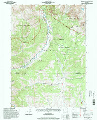
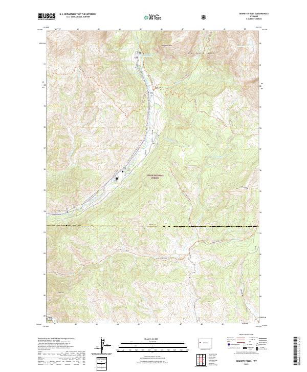 2021 Granite Falls2021 Print · USGSThe Teton and Sublette county line runs through this high-elevation wilderness in the early twenty-first century. Outdoor researchers can trace the routes of the Granite Highline Trl and find the secluded Granite Falls Hot Springs along Granite Creek.
End of results
Showing maps 1-12 of 12
Frequently asked questions
- What are the different types of historical maps available for Jack Pine?
- What is the oldest map of Jack Pine?
- Where can I purchase historical maps of Jack Pine for my home or office?
- Where can I download high-res historical maps of Jack Pine?
- Are there historical topographic maps available for Jack Pine?
- Is there historical aerial imagery available for Jack Pine?
- Where are historical maps of Jack Pine sourced from?