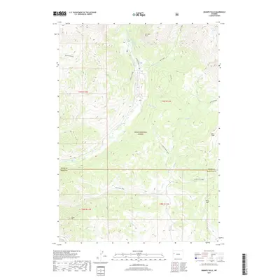
2017 Map of Granite Falls
USGS Topo · Published 2017About this map
Granite Falls Hot Springs and a nearby Hot Spring anchor the upper reaches of the Granite Creek drainage, where the water flows through the heart of the Teton National Forest. This high-elevation landscape is defined by its dramatic relief and natural landmarks, such as the prominent cliff formation known as The Open Door and the heights of Deer Ridge.
Find a feature on this map
26 named features on this map. Tap any name to fly to it.
Don’t see what you’re looking for? This feature index may not catch every label — zoom into the map to look around manually.
Map Details
Editions of this 2017 Granite Falls Map
This is the sole edition of this map. No revisions or reprints were ever made.
Other maps of this area
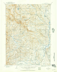
1907 · Gros Ventre
USGS Topo · 1:125,000
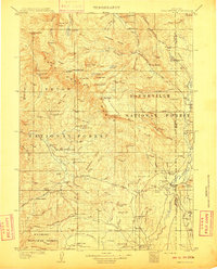
1910 · Gros Ventre
USGS Topo · 1:125,000
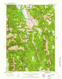
1931 · Jackson
USGS Topo · 1:125,000
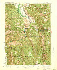
1935 · Jackson
USGS Topo · 1:125,000
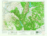
1955 · Driggs
USGS Topo · 1:250,000
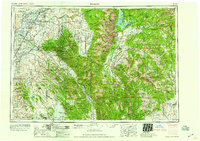
1958 · Driggs
USGS Topo · 1:250,000
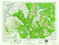
1962 · Driggs
USGS Topo · 1:250,000
1965 · Turquoise Lake
USGS Topo · 1:24,000
1965 · Bull Creek
USGS Topo · 1:24,000
1965 · Clause Peak
USGS Topo · 1:24,000