Old Maps of Three Forks, Wyoming for Academic Research
Study the evolution of Three Forks with 9 high-resolution historic maps. Whether you're teaching, researching, or modeling changes in land use, these maps provide essential visual documentation of urban, environmental, and geographic change.
- Analyze long-term change: Track patterns in development, transportation, and natural features.
- Ideal for environmental or urban studies: Support academic projects with primary historical map data.
- Use in the classroom or lab: Educators and researchers rely on these maps to bring historical context to life.
These maps are a powerful tool for teaching, research, and visualizing how Three Forks has changed over the decades.
Three Forks, WY maps
(9)- 1954 Map of Ogden, 1967 Print
 1954 Ogden1967 Print · USGSThe northern Utah corridor and Wyoming borderlands are captured here in the mid-1950s, showing the region's transition from mountain wilderness to settled valleys. Researchers can trace historic institutions like Utah State University or locate vanished points like Church Butte Station and the Trappist Monastery.3 unique versions available
 - 1958 Map of Ogden
 1958 Ogden1958 Print · USGSNorthern Utah and southwestern Wyoming are captured here during a period of steady growth and military expansion. You can trace the Union Pacific rail lines and early road networks connecting Ogden and Logan to Bear Lake and Evanston.
 - 1960 Map of Ogden
 1960 Ogden1960 Print · USGSIn the mid-1950s, this region of the American West balanced military expansion with frontier history along the Union Pacific RR. Genealogists and historians can trace old settlements like Fort Bridger, the residential growth of Washington Terrace, and industrial sites from the Hill AFB complex to the coal mines of Kemmerer.
 - 1965 Map of Three Forks, 1968 Print
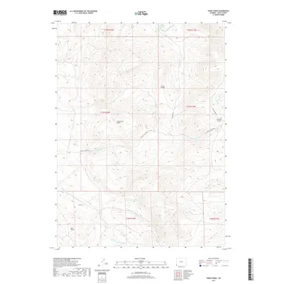
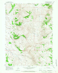 1965 Three Forks1968 Print · USGSUinta County’s high-desert canyons and springs are captured here in the mid-1960s, showing a landscape defined by ranching and resource extraction. Trace historical water rights and land use through School Section Spring, the Claypit, and the confluence at Three Forks.3 unique versions available
 - 1980 Map of Evanston, 1992 Print
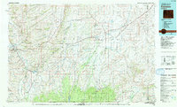 1980 Evanston1992 Print · USGSSouthwestern Wyoming at the start of the eighties shows a landscape of mountain forests and high-plateau ranching towns. Trace the Union Pacific line through Evanston or explore the historic vicinity of Fort Bridger and Piedmont.
 - 2012 Map of Three Forks, 2012 Print
 2012 Three Forks2012 Print · USGSCovers Three Forks, including Uinta County, United States, and other nearby areas
 - 2015 Map of Three Forks, 2015 Print
 2015 Three Forks2015 Print · USGSCovers Three Forks, including Uinta County, United States, and other nearby areas
 - 2017 Map of Three Forks, 2017 Print
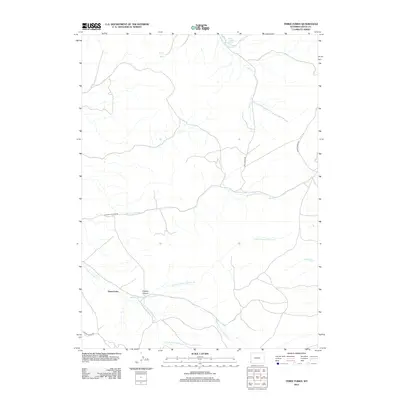
 2017 Three Forks2017 Print · USGSCovers Three Forks, including Uinta County, United States, and other nearby areas
 - 2021 Map of Three Forks, 2021 Print
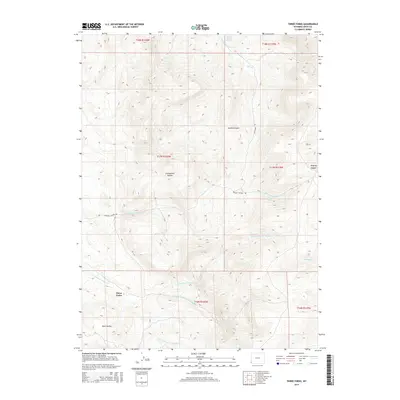
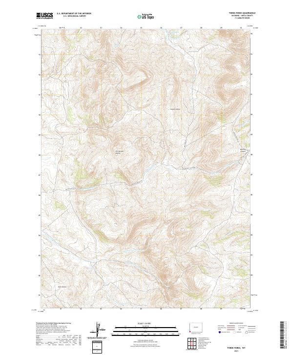 2021 Three Forks2021 Print · USGSUinta County ranching lands and high-altitude canyons are captured in this modern survey of the Wyoming borderlands. Researchers can trace the paths of Whitney Canyon Rd and find remote water sources like School Section Spring and Grave Spring.
End of results
Showing maps 1-9 of 9
Top cities near Three Forks
Frequently asked questions
- What are the different types of historical maps available for Three Forks?
- What is the oldest map of Three Forks?
- Where can I purchase historical maps of Three Forks for my home or office?
- Where can I download high-res historical maps of Three Forks?
- Are there historical topographic maps available for Three Forks?
- Is there historical aerial imagery available for Three Forks?
- Where are historical maps of Three Forks sourced from?