Old Maps of West River, Wyoming for Academic Research
Study the evolution of West River with 9 high-resolution historic maps. Whether you're teaching, researching, or modeling changes in land use, these maps provide essential visual documentation of urban, environmental, and geographic change.
- Analyze long-term change: Track patterns in development, transportation, and natural features.
- Ideal for environmental or urban studies: Support academic projects with primary historical map data.
- Use in the classroom or lab: Educators and researchers rely on these maps to bring historical context to life.
These maps are a powerful tool for teaching, research, and visualizing how West River has changed over the decades.
West River, WY maps
(9)- 1955 Map of Sheridan, 1973 Print
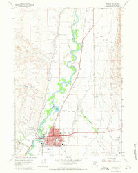
 1955 Sheridan1973 Print · USGSThe Bighorn Mountains meet the Powder River Basin in the 1950s, a period when cattle ranching and coal mining defined the regional economy. Genealogists and historians can trace local landmarks like the Fort Mackenzie Veteran Hospital, the Monarch Coal Mine, and legacy operations such as the Beckton Stock Farm.2 unique versions available
 - 1958 Map of Sheridan
 1958 Sheridan1958 Print · USGSThe Bighorn Mountains meet the high plains in the mid-1950s, revealing a landscape of large-scale ranching and mineral extraction. Trace the legacy of early settlements and industry through the Kleenburn Coal Tipple, Beckton Stock Farm, and the Hidden Dome Oil & Gas Field.2 unique versions available
 - 1962 Map of Sheridan
 1962 Sheridan1962 Print · USGSThe Big Horn Mountains and Powder River country are captured here in the early sixties as energy production and ranching shaped northern Wyoming. Researchers can locate specific sites like the Kleenburn Coal Tipple, Eaton Bros Ranch, and the Fort McKenzie Veteran Hospital.
 - 1967 Map of Worland, 1971 Print
 1967 Worland1971 Print · USGSThe Bighorn River valley thrived as an agricultural and energy hub in the late sixties, centered on the growing town of Worland. Researchers can trace local landmarks like Washakie Mem Hosp, numerous neighborhood schools, and the Burlington Northern rail line.3 unique versions available
 - 1979 Map of Worland
 1979 Worland1979 Print · USGSThe Bighorn Basin in the late seventies reveals a landscape of river-valley agriculture and high-mountain wilderness. Researchers can trace the energy-driven growth of Worland and Ten Sleep, or locate family landmarks near Hyattville and the Big Horn Mine.2 unique versions available
 - 2012 Map of Worland, 2012 Print
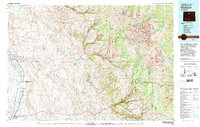
 2012 Worland2012 Print · USGSCovers West River, including Worland, Washakie Ten, and other nearby areas
 - 2015 Map of Worland, 2015 Print
 2015 Worland2015 Print · USGSCovers West River, including Worland, Washakie Ten, and other nearby areas
 - 2018 Map of Worland, 2018 Print
 2018 Worland2018 Print · USGSCovers West River, including Worland, Washakie Ten, and other nearby areas
 - 2021 Map of Worland, 2021 Print
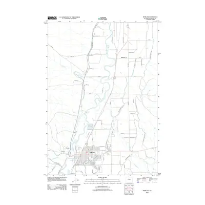
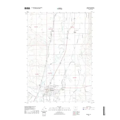
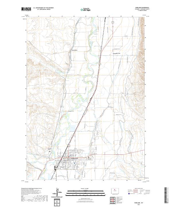 2021 Worland2021 Print · USGSThe Big Horn Basin enters the twenty-first century as a hub of irrigation-based agriculture and industry centered around Worland. Researchers can trace the sophisticated canal systems including the Big Horn Canal or locate local landmarks like the Washakie County Courthouse.
End of results
Showing maps 1-9 of 9
Top cities near West River
Frequently asked questions
- What are the different types of historical maps available for West River?
- What is the oldest map of West River?
- Where can I purchase historical maps of West River for my home or office?
- Where can I download high-res historical maps of West River?
- Are there historical topographic maps available for West River?
- Is there historical aerial imagery available for West River?
- Where are historical maps of West River sourced from?