Old Maps of Dakoming, Wyoming for Hiking & Exploration
Hike through history with 10 historic maps of Dakoming. Explore old trails, ghost towns, and forgotten backroads — perfect for outdoor adventurers and local explorers.
- Rediscover forgotten places: Map out old mining camps, roads, and footpaths that no longer exist on modern maps.
- Layer with modern tools: Combine with LiDAR or satellite views to plan hikes through historical terrain.
- Made for exploration: Popular among hikers, overlanders, and local history lovers.
Use these maps to find adventure and explore the hidden past of Dakoming.
Dakoming, WY maps
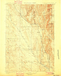
(10)- 1899 Map of Newcastle, 1964 Print
 1899 Newcastle1964 Print · USGSThe Wyoming-South Dakota borderlands appear here at the close of the nineteenth century, as railroads and ranching reshaped the Black Hills. Researchers can trace early cattle operations like YT Ranch and mining infrastructure at Cambria and Newcastle.
 - 1901 Map of Newcastle
 1901 Newcastle1901 Print · USGSThe Wyoming-South Dakota borderlands come alive in this survey conducted just before the turn of the century, centered on the railroad hub of Newcastle. Genealogists and historians can trace early cattle history at Lak Ranch and the industrial spur leading to the coal-mining town of Cambria.3 unique versions available
 - 1951 Map of Dewey, 1953 Print
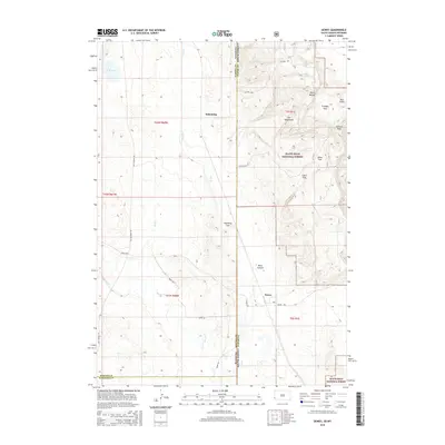
 1951 Dewey1953 Print · USGSCrossing the state line during the early fifties, this map captures the railroad-dependent life of the Wyoming-South Dakota borderlands. Genealogists and historians can trace the rail corridor between Dakoming and Dewey or locate the Lucky Strike Bentonite Mine.4 unique versions available
 - 1955 Map of Newcastle, 1963 Print
 1955 Newcastle1963 Print · USGSThe high plains of eastern Wyoming and western South Dakota are captured in the mid-fifties, showing a landscape of sprawling ranches and emerging oil fields. Researchers can locate family landmarks like Saunders Ranch, trace the Chicago Burlington & Quincy RR, and explore small rail towns such as Osage and Edgemont.2 unique versions available
 - 1958 Map of Newcastle
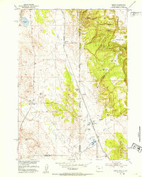
 1958 Newcastle1958 Print · USGSThe high plains of eastern Wyoming meet the Black Hills in the late fifties, showcasing a landscape of rail-connected towns and historic trails. Trace the path of the Chicago Burlington & Quincy RR through Newcastle or locate the Bozeman Trail Monument and Summitt Ridge Lookout Tower.
 - 1979 Map of Newcastle
 1979 Newcastle1979 Print · USGSThe energy-rich plains of Weston County meet the Black Hills in the late seventies as oil production and ranching define the landscape. Researchers can trace the Burlington Northern rail lines and explore the vast Fiddler Creek Oil Field or the remote Darlington School.
 - 2012 Map of Dewey, 2012 Print
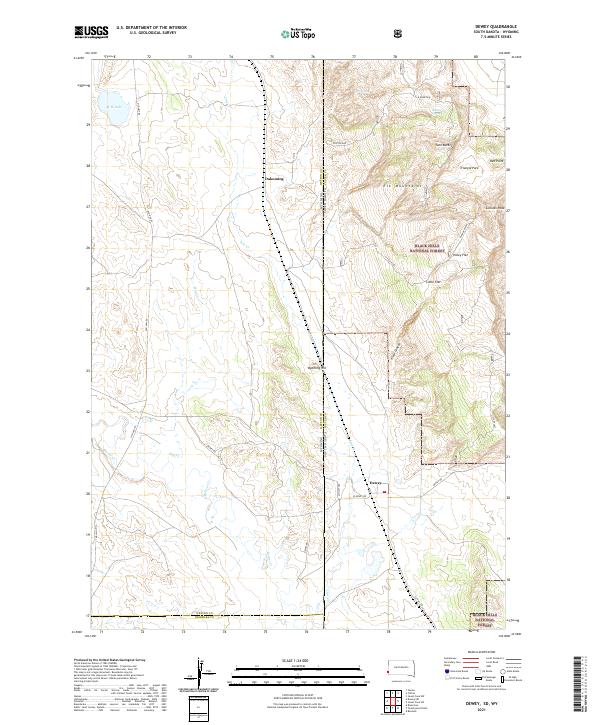
 2012 Dewey2012 Print · USGSCovers Dakoming, including Dewey, Custer County, and other nearby areas
 - 2015 Map of Dewey, 2015 Print
 2015 Dewey2015 Print · USGSCovers Dakoming, including Dewey, Custer County, and other nearby areas
 - 2017 Map of Dewey, 2017 Print
 2017 Dewey2017 Print · USGSCovers Dakoming, including Dewey, Custer County, and other nearby areas
 - 2021 Map of Dewey, 2021 Print
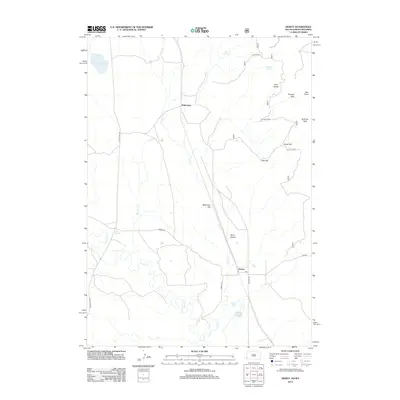
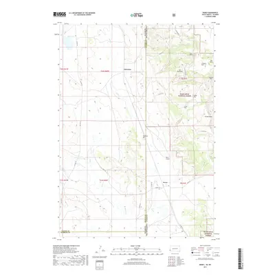
 2021 Dewey2021 Print · USGSCuster County ranch lands meet the Black Hills high country in the early 2020s. Genealogists and historians can trace the border-straddling settlements of Dewey and Dakoming or locate family landmarks near Carr Spring and Holey Flat.
End of results
Showing maps 1-10 of 10
Frequently asked questions
- What are the different types of historical maps available for Dakoming?
- What is the oldest map of Dakoming?
- Where can I purchase historical maps of Dakoming for my home or office?
- Where can I download high-res historical maps of Dakoming?
- Are there historical topographic maps available for Dakoming?
- Is there historical aerial imagery available for Dakoming?
- Where are historical maps of Dakoming sourced from?