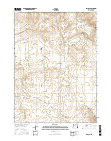
2017 Map of aa-Tiipi Flat
USGS Topo · Published 2017About this map
The high plateau of aa-Tiipi Flat dominates this 2017 survey of Malheur County, Oregon, where a complex network of intermittent drainages and small reservoirs defines the arid landscape. The area is marked by numerous water management features essential for range management, including Yellow Fingers Reservoir, Coyote Holes Reservoir, and the uniquely named Pisa Paa Ta Tsi Tsa-da Reservoir. Terrain features such as Grassy Mtn and Mouse Trap Butte provide vertical relief in an area otherwise characterized by sweeping flats and deep cuts like Loveland Canyon. The transportation network is sparse, relying on primitive corridors like Skull Creek Rd and Upper Horse Camp Reservoir Rd to connect these remote ranching and grazing lands.
Find a feature on this map
28 named features on this map. Tap any name to fly to it.
Don’t see what you’re looking for? This feature index may not catch every label — zoom into the map to look around manually.
Map Details
Editions of this 2017 aa-Tiipi Flat Map
This is the sole edition of this map. No revisions or reprints were ever made.
Other maps of this area

1955 · Jordan Valley
USGS Topo · 1:250,000

1957 · Jordan Valley
USGS Topo · 1:250,000

1958 · Jordan Valley
USGS Topo · 1:250,000
1980 · Skull Creek
USGS Topo · 1:24,000

1980 · Three Forks
USGS Topo · 1:24,000
1980 · Caviatta Ridge
USGS Topo · 1:24,000
1980 · Squaw Flat
USGS Topo · 1:24,000
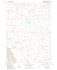
1980 · Whitehorse Butte
USGS Topo · 1:24,000
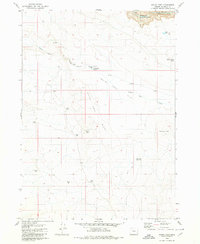
1980 · Indian Fort
USGS Topo · 1:24,000
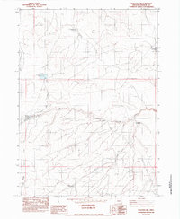
1982 · Peacock Lake
USGS Topo · 1:24,000