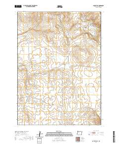
2020 Map of aa-Tiipi Flat
USGS Topo · Published 2020About this map
Aa-Tiipi Flat and Tuu-Tiipi Flat define this high desert corner of Malheur County, where the landscape is marked by a sophisticated network of water management features. At this time, dozens of small catchments like Rock Reservoir, Mouse Trap Reservoir, and Yellow Fingers Reservoir dot the terrain, essential for supporting livestock in an arid environment. The land is punctuated by distinct volcanic and erosional forms, including Grassy Mtn and Mouse Trap Butte, which provide topographical relief against the sweeping flats. Access to these remote reaches is maintained by a handful of established routes, notably Skull Creek Rd and Upper Horse Camp Reservoir Rd, which skirt the edges of drainage systems like Loveland Canyon. The mapping reveals a pattern of modern rangeland utility, with each reservoir and butte serving as a vital landmark for navigation and resource location.
Find a feature on this map
29 named features on this map. Tap any name to fly to it.
Don’t see what you’re looking for? This feature index may not catch every label — zoom into the map to look around manually.
Map Details
Editions of this 2020 aa-Tiipi Flat Map
This is the sole edition of this map. No revisions or reprints were ever made.
Other maps of this area

1955 · Jordan Valley
USGS Topo · 1:250,000

1957 · Jordan Valley
USGS Topo · 1:250,000

1958 · Jordan Valley
USGS Topo · 1:250,000
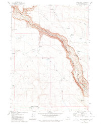
1980 · Skull Creek
USGS Topo · 1:24,000

1980 · Three Forks
USGS Topo · 1:24,000
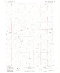
1980 · Caviatta Ridge
USGS Topo · 1:24,000
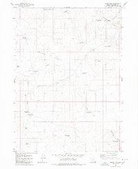
1980 · Squaw Flat
USGS Topo · 1:24,000
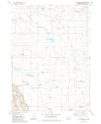
1980 · Whitehorse Butte
USGS Topo · 1:24,000
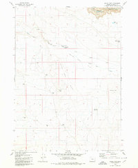
1980 · Indian Fort
USGS Topo · 1:24,000
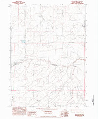
1982 · Peacock Lake
USGS Topo · 1:24,000