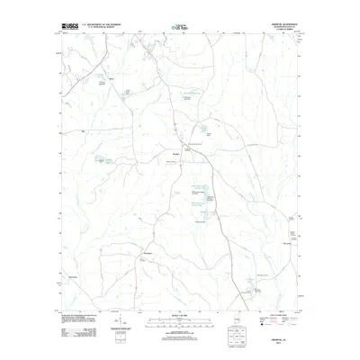
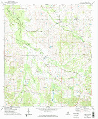
2011 Map of Aberfoil
USGS Topo · Published 2011About this map
Conecuh River and its numerous tributaries, including Little Conecuh River and Big Sandy Creek, define the topography of this Bullock County region. The landscape is dotted with several small communities and private water features, such as O H Williams Lake and Varner Lake, which often correspond to specific family or landholdings. The settlement of Aberfoil serves as a central point, while smaller locales like Scotland, Inverness, and Stavo are distributed across the drainage basins.
Find a feature on this map
49 named features on this map. Tap any name to fly to it.
Don’t see what you’re looking for? This feature index may not catch every label — zoom into the map to look around manually.
Map Details
Editions of this 2011 Aberfoil Map
This is the sole edition of this map. No revisions or reprints were ever made.
Other maps of this area

1953 · Dothan
USGS Topo · 1:250,000

1954 · Dothan
USGS Topo · 1:250,000

1955 · Dothan
USGS Topo · 1:250,000

1955 · Phenix City
USGS Topo · 1:250,000

1957 · Phenix City
USGS Topo · 1:250,000

1958 · Phenix City
USGS Topo · 1:250,000
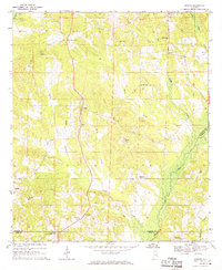
1968 · Perote
USGS Topo · 1:24,000
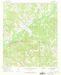
1968 · Saco
USGS Topo · 1:24,000
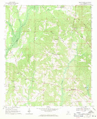
1968 · Mount Andrew
USGS Topo · 1:24,000
1971 · Thompson
USGS Topo · 1:24,000