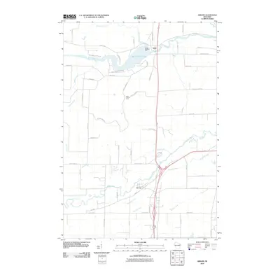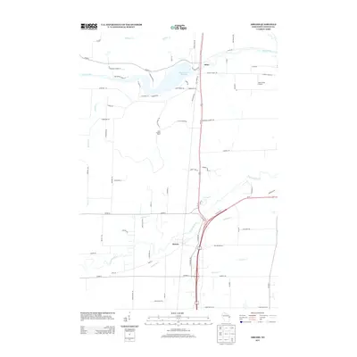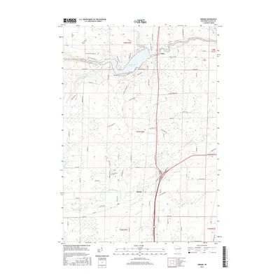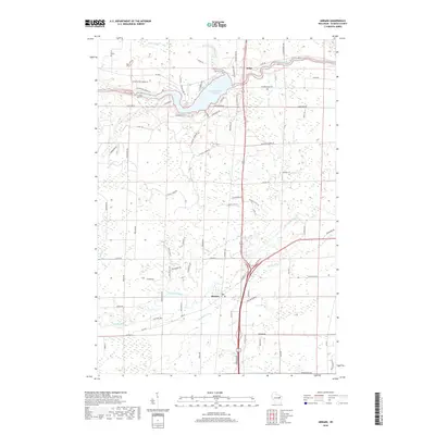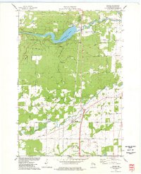
1974 Map of Abrams
USGS Topo · Published 1977About this map
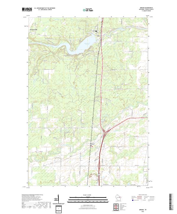
The Oconto River and Pensaukee River dominate this mid-1970s survey of Oconto County, Wisconsin. The landscape is defined by the significant impoundment of the Machickanee Flowage at Stiles, where Pioneer Memorial County Park sits along the northern shore. Further south, the community of Abrams serves as a local hub near the junction of the Chicago and North Western and Milwaukee St Paul and Pacific railroads. The area shows a clear transition between agricultural field lines and wooded tracts, with specific landmarks like the Stiles Lookout Tower and the Sandalwood Country Club providing modern points of interest. Notable family-named routes such as Kozlowski Road, Heider Road, and Reim Road offer excellent leads for local genealogists tracing twentieth-century land ownership.
Find a feature on this map
52 named features on this map. Tap any name to fly to it.
Don’t see what you’re looking for? This feature index may not catch every label — zoom into the map to look around manually.
Map Details
Editions of this 1974 Abrams Map
This is the sole edition of this map. No revisions or reprints were ever made.
Historical Maps of Little Suamico Through Time
6 maps found