Old Maps of Stiles, Wisconsin
Explore 27 old maps of Stiles, spanning from 1955 to today. These high-resolution historic maps reveal how streets, neighborhoods, landmarks, and natural features evolved over time — perfect for genealogy, metal detecting, research, and local history exploration.
What you can do with these maps:
- See how Stiles changed over time: Compare historical maps to modern-day views to trace roads, homesites, rail lines & more.
- View detailed metadata: Each map includes creators, publishers, year, scale, and archive source.
- Overlay maps with satellite & LiDAR: Visualize the past alongside modern tools to explore terrain & human change.
- Trusted historical sources: Maps sourced from the USGS, Library of Congress, and other archives.
- Access maps your way: View online, download high-res files, or order prints for personal or research use.
Start exploring old maps of Stiles to uncover forgotten places, hidden landmarks, and the deep history beneath your feet.
Stiles, WI maps
(27)- 1955 Map of Green Bay, 1968 Print
 1955 Green Bay1968 Print · USGSCentral and Eastern Wisconsin are captured here in the mid-fifties, showing the industrial growth of the Fox Valley and Wisconsin River corridors. Genealogists and historians can trace rail lines like the Green Bay and Western through settlements like Weyauwega, Clintonville, and Pulaski.2 unique versions available
 - 1956 Map of Oconto Falls, 1958 Print
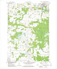
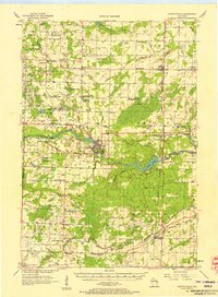 1956 Oconto Falls1958 Print · USGSOconto County in the mid-fifties is captured here as a landscape of rural school districts and river-based industry. Genealogists can locate family-named landmarks like Dombrowski Lake and Kuplie Lake, or trace rail history at Stiles Junction.3 unique versions available
 - 1974 Map of Abrams, 1977 Print
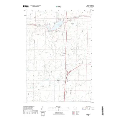
 1974 Abrams1977 Print · USGSOconto County in the mid-seventies shows a landscape defined by the Oconto and Pensaukee rivers. Local historians can trace the rail junction at Abrams or find family-named landmarks like Heider Road and the Stiles Lookout Tower.
 - 1974 Map of Lena, 1977 Print
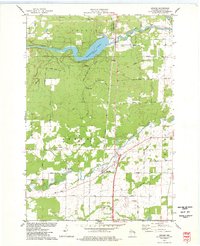
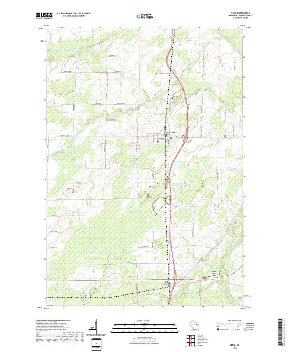
 1974 Lena1977 Print · USGSOconto County rural life is preserved here during the mid-seventies, centered on the rail-fed village of Lena and the crossroads at Stiles Junction. Genealogists and local historians can trace family-named roads and landmarks like St Charles Cem, the Larson Studio Landing Strip, and the High Sch.
 - 1974 Map of Oconto Falls North, 1977 Print
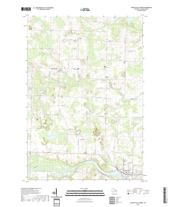
 1974 Oconto Falls North1977 Print · USGSOconto County in the mid-1970s reveals a landscape of quiet dairy farms and emerging river towns before modern expansion. Genealogists can trace family footprints at Kelly Brook Cem, St Mark Ch, and along the tracks of the Chicago and North Western rail line.
 - 1974 Map of Oconto Falls South, 1977 Print
 1974 Oconto Falls South1977 Print · USGSOconto County townships during the mid-seventies show a landscape of winding river systems and traditional rural hubs. Local historians can trace the foundations of the community at St Johns Ch, Degantown Sch, and the riverside settlement of Sampson.
 - 1984 Map of Shawano, 1985 Print
 1984 Shawano1985 Print · USGSNortheast Wisconsin in the mid-1980s was a landscape defined by its indigenous heritage and the bustling trade centers of the Fox and Wolf River valleys. Genealogists and historians can trace rail corridors like the Chicago and North Western or locate family sites near Keshena, Cecil, and the Fort Howard Cem.2 unique versions available
 - 2010 Map of Lena, 2010 Print
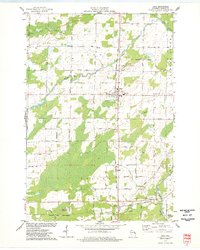
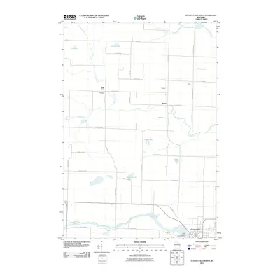
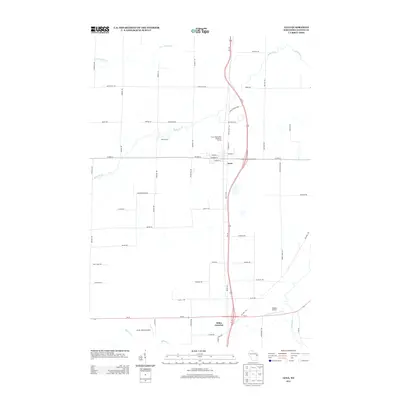
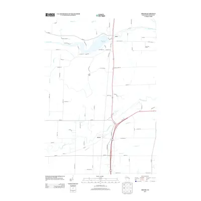
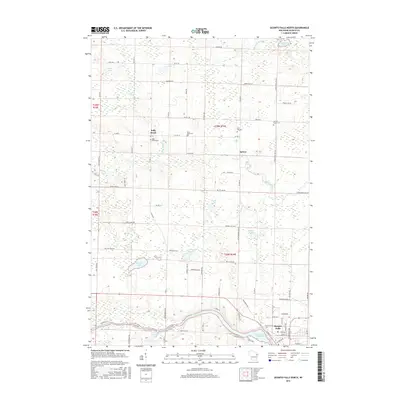
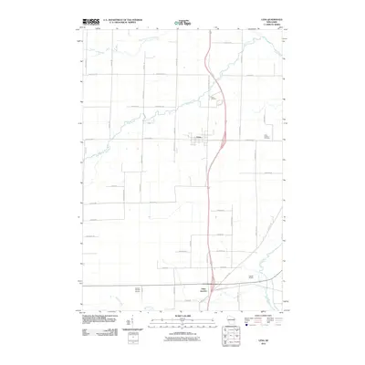 2010 Lena2010 Print · USGSCovers Stiles, including Spruce, Lena, and other nearby areas
 - 2010 Map of Abrams, 2010 Print
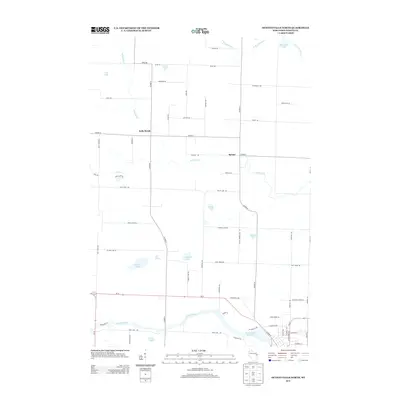
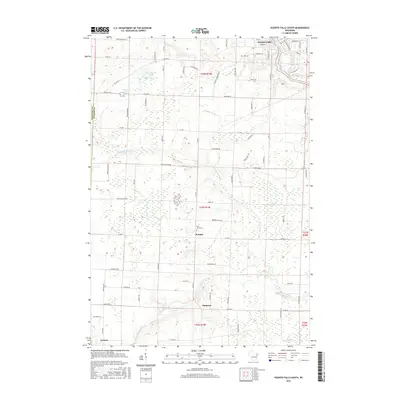
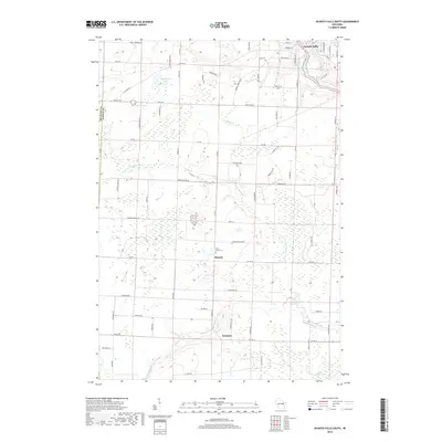
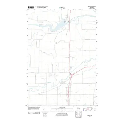 2010 Abrams2010 Print · USGSCovers Stiles, including Little Suamico, Abrams, and other nearby areas
 - 2010 Map of Oconto Falls South, 2010 Print
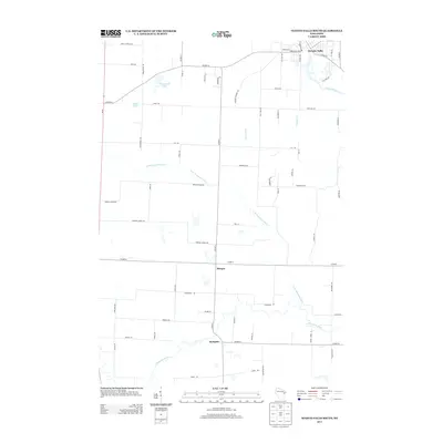
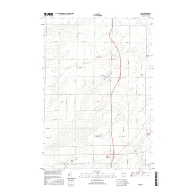
 2010 Oconto Falls South2010 Print · USGSCovers Stiles, including Chase, Oconto Falls, and other nearby areas
 - 2010 Map of Oconto Falls North, 2010 Print
 2010 Oconto Falls North2010 Print · USGSCovers Stiles, including Oconto Falls, Spruce, and other nearby areas
 - 2013 Map of Oconto Falls South, 2013 Print
 2013 Oconto Falls South2013 Print · USGSCovers Stiles, including Chase, Oconto Falls, and other nearby areas
 - 2013 Map of Oconto Falls North, 2013 Print
 2013 Oconto Falls North2013 Print · USGSCovers Stiles, including Oconto Falls, Spruce, and other nearby areas
 - 2013 Map of Lena, 2013 Print
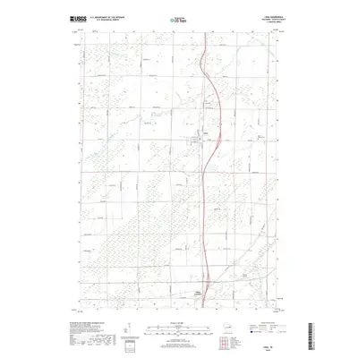
 2013 Lena2013 Print · USGSCovers Stiles, including Spruce, Lena, and other nearby areas
 - 2013 Map of Abrams, 2013 Print
 2013 Abrams2013 Print · USGSCovers Stiles, including Little Suamico, Abrams, and other nearby areas
 - 2016 Map of Oconto Falls South, 2016 Print
 2016 Oconto Falls South2016 Print · USGSCovers Stiles, including Chase, Oconto Falls, and other nearby areas
 - 2016 Map of Lena, 2016 Print
 2016 Lena2016 Print · USGSCovers Stiles, including Spruce, Lena, and other nearby areas
 - 2016 Map of Abrams, 2016 Print
 2016 Abrams2016 Print · USGSCovers Stiles, including Little Suamico, Abrams, and other nearby areas
 - 2016 Map of Oconto Falls North, 2016 Print
 2016 Oconto Falls North2016 Print · USGSCovers Stiles, including Oconto Falls, Spruce, and other nearby areas
 - 2018 Map of Oconto Falls South, 2018 Print
 2018 Oconto Falls South2018 Print · USGSCovers Stiles, including Chase, Oconto Falls, and other nearby areas
 - 2018 Map of Lena, 2018 Print
 2018 Lena2018 Print · USGSCovers Stiles, including Spruce, Lena, and other nearby areas
 - 2018 Map of Oconto Falls North, 2018 Print
 2018 Oconto Falls North2018 Print · USGSCovers Stiles, including Oconto Falls, Spruce, and other nearby areas
 - 2018 Map of Abrams, 2018 Print
 2018 Abrams2018 Print · USGSCovers Stiles, including Little Suamico, Abrams, and other nearby areas
 - 2022 Map of Oconto Falls North, 2022 Print
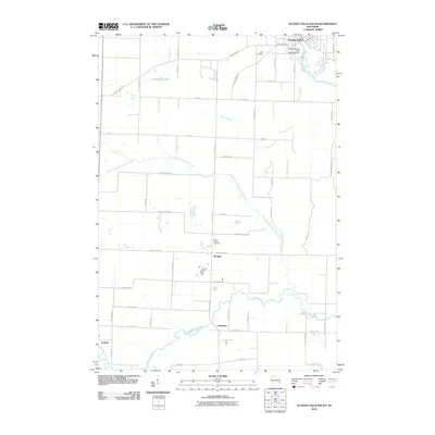
 2022 Oconto Falls North2022 Print · USGSIn the Oconto River valley during the early twenty-first century, this landscape shows a community defined by its water and woods. Genealogists can trace family lines through the Sacred Heart Cem or the settlement of Kelly Brook near Gray Lake.
 - 2022 Map of Lena, 2022 Print
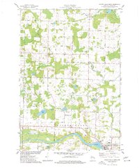
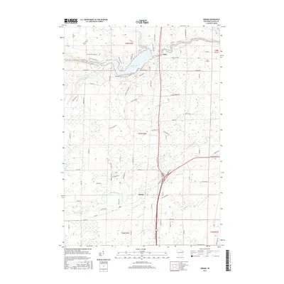
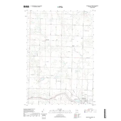
 2022 Lena2022 Print · USGSOconto County's rural heartland is captured here in the early 2020s, showing the settled village of Lena and its surrounding farmsteads. Local researchers can trace family lands along Kriescher Rd or locate ancestors at the Saint Charles Cem and Lena Cem.
Showing maps 1-25 of 27
Top cities near Stiles
- Suamico historical maps
- Oconto historical maps
- Little Suamico historical maps
- Pulaski historical maps
- Chase historical maps
- Oconto Falls historical maps
See more
Top neighborhoods of Stiles
Frequently asked questions
- What are the different types of historical maps available for Stiles?
- What is the oldest map of Stiles?
- Where can I purchase historical maps of Stiles for my home or office?
- Where can I download high-res historical maps of Stiles?
- Are there historical topographic maps available for Stiles?
- Is there historical aerial imagery available for Stiles?
- Where are historical maps of Stiles sourced from?