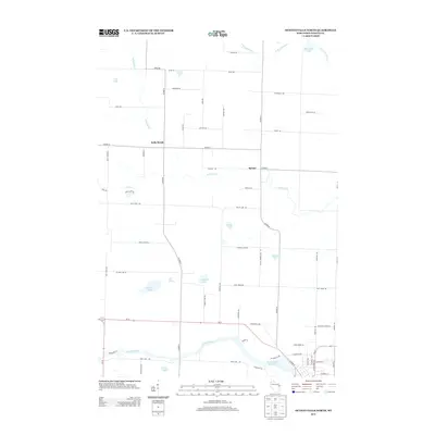
2013 Map of Oconto Falls North
USGS Topo · Published 2013About this map
Kelly Brook and Spruce anchor this rural landscape in Oconto County, where agricultural fields are punctuated by numerous small kettle lakes and wetlands. The southern edge of the map is defined by the Oconto River, which widens into the Oconto Falls Pond 729 near the local population center. This drainage system, along with the N Br Little River in the north, shaped the early settlement patterns of the region.
Find a feature on this map
65 named features on this map. Tap any name to fly to it.
Don’t see what you’re looking for? This feature index may not catch every label — zoom into the map to look around manually.
Map Details
Editions of this 2013 Oconto Falls North Map
This is the sole edition of this map. No revisions or reprints were ever made.
Other maps of this area

1941 · Coleman
USGS Topo · 1:48,000

1942 · Coleman
USGS Topo · 1:48,000

1942 · Breed
USGS Topo · 1:48,000

1950 · Coleman
USGS Topo · 1:48,000

1952 · Mountain
USGS Topo · 1:48,000

1954 · Iron Mountain
USGS Topo · 1:250,000

1955 · Green Bay
USGS Topo · 1:250,000

1956 · Gillett
USGS Topo · 1:62,500

1956 · Oconto Falls
USGS Topo · 1:62,500

1959 · Iron Mountain
USGS Topo · 1:250,000