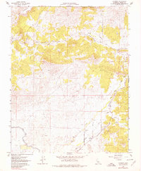
1964 Map of Academy
USGS Topo · Published 1978About this map
Academy serves as the focal point of this Central Valley survey, situated at the base of the Sierra foothills where the landscape transitions into the prominent heights of Table Mountain and Corlew Mountain. The settlement pattern reflects a rural agricultural and ranching economy, with several family and community landmarks such as the Academy Cem and various local roads including Auberry Road and Tollhouse Road that connect the scattered farmsteads.
Find a feature on this map
22 named features on this map. Tap any name to fly to it.
Don’t see what you’re looking for? This feature index may not catch every label — zoom into the map to look around manually.
Map Details
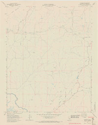
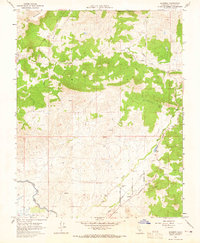
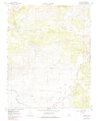
Editions of this 1964 Academy Map
4 editions found
Other maps of this area

1904 · Kaiser
USGS Topo · 1:125,000

1912 · Mariposa
USGS Topo · 1:125,000

1916 · Sulphur Springs
USGS Topo · 1:24,000

1919 · Sulphur Springs
USGS Topo · 1:31,680

1920 · Orangedale School
USGS Topo · 1:24,000

1922 · Round Mountain
USGS Topo · 1:31,680

1922 · Trimmer
USGS Topo · 1:96,000

1922 · Friant
USGS Topo · 1:31,680

1923 · Academy
USGS Topo · 1:31,680

1923 · Orangedale School
USGS Topo · 1:31,680