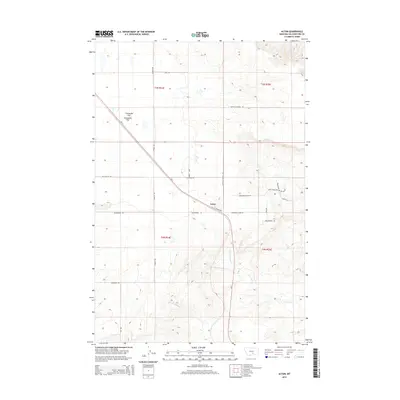
2014 Map of Acton
USGS Topo · Published 2014About this map
Acton sits at the junction of MT-3 and the Shepherd Acton Rd, serving as a central point in this Yellowstone County landscape. The area is defined by its wide plateaus and drainage networks, most notably the broad expanse of Comanche Flat to the northwest. Water distribution is marked by the branching paths of N Fork Fivemile Cr and S Fork Fivemile Cr, which eventually join as Five Mile Cr as they cut through the terrain. The road network is particularly dense with named rural routes and tracks, such as Buffalo Springs Rd and Wapiti Ridge Trl, reflecting a landscape of ranching and rural homesteads. This 2014 survey documents the persistence of established section lines and named trails like Tipperarie Trl, which follow the natural contours of the Montana high plains.
Find a feature on this map
30 named features on this map. Tap any name to fly to it.
Don’t see what you’re looking for? This feature index may not catch every label — zoom into the map to look around manually.
Map Details
Editions of this 2014 Acton Map
This is the sole edition of this map. No revisions or reprints were ever made.
Other maps of this area

1954 · Billings
USGS Topo · 1:250,000

1954 · Roundup
USGS Topo · 1:250,000

1956 · Comanche
USGS Topo · 1:24,000

1956 · Acton
USGS Topo · 1:24,000

1956 · Hickson Ranch
USGS Topo · 1:24,000

1956 · Rimrock
USGS Topo · 1:24,000

1956 · Two Pine School
USGS Topo · 1:24,000

1957 · Billings
USGS Topo · 1:250,000

1957 · Billings West
USGS Topo · 1:24,000

1958 · Billings
USGS Topo · 1:250,000