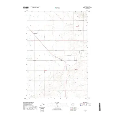
2020 Map of Acton
USGS Topo · Published 2020About this map
Acton sits at a geographic crossroads in Yellowstone County, where the transition between high plains and the drainage systems of the Yellowstone River basin is clearly defined. The terrain is characterized by the broad Comanche Flat to the northwest and a complex network of seasonal watercourses to the south and east. Modern rural development is visible through a grid of named routes like Mainwaring Rd and Shepherd Acton Rd, which connect the settlement to the surrounding ranching landscape. The hydrologic patterns are a central feature of this area, as the N Fork Fivemile Cr and S Fork Fivemile Cr converge before joining Five Mile Cr in the southeast. Meanwhile, the N Fork Alkali Cr carves through the southern sections of the quadrangle. These drainage ways have historically dictated the placement of roads and homesteads, illustrating how the natural topography continues to influence life in this part of Montana.
Find a feature on this map
28 named features on this map. Tap any name to fly to it.
Don’t see what you’re looking for? This feature index may not catch every label — zoom into the map to look around manually.
Map Details
Editions of this 2020 Acton Map
This is the sole edition of this map. No revisions or reprints were ever made.
Other maps of this area

1954 · Billings
USGS Topo · 1:250,000

1954 · Roundup
USGS Topo · 1:250,000

1956 · Comanche
USGS Topo · 1:24,000

1956 · Acton
USGS Topo · 1:24,000

1956 · Hickson Ranch
USGS Topo · 1:24,000

1956 · Rimrock
USGS Topo · 1:24,000

1956 · Two Pine School
USGS Topo · 1:24,000

1957 · Billings
USGS Topo · 1:250,000

1957 · Billings West
USGS Topo · 1:24,000

1958 · Billings
USGS Topo · 1:250,000