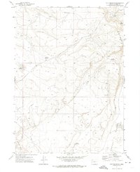
1971 Map of Acty Mountain
USGS Topo · Published 1974About this map
Acty Mountain dominates the high desert landscape of Harney County in this 1971 topographical study. The terrain is defined by a sparse but vital network of water sources essential for livestock and wildlife in the arid Oregon interior. Small reservoirs and catchments like Bald Mtn Reservoir and Halfway Reservoir are strategically placed among the elevations, while a series of named waterholes, including Stallion Waterhole, Dutch Waterhole, and Snip Waterhole, suggest the historical importance of specific locations for range management and tracking movement across the Sage Hen Hills. This map provides a detailed view of the land before significant modern development, showing the natural drainages and contours that have dictated land use in this part of the state for generations.
Find a feature on this map
10 named features on this map. Tap any name to fly to it.
Don’t see what you’re looking for? This feature index may not catch every label — zoom into the map to look around manually.
Map Details
Editions of this 1971 Acty Mountain Map
This is the sole edition of this map. No revisions or reprints were ever made.
Other maps of this area

1889 · Long Valley
USGS Topo · 1:250,000

1954 · Vya
USGS Topo · 1:250,000

1955 · Adel
USGS Topo · 1:250,000

1957 · Adel
USGS Topo · 1:250,000

1958 · Vya
USGS Topo · 1:250,000

1958 · Adel
USGS Topo · 1:250,000

1962 · Vya
USGS Topo · 1:250,000

1962 · Adel
USGS Topo · 1:250,000

1966 · Big Spring Butte
USGS Topo · 1:62,500
1966 · Sage Hen Hills
USGS Topo · 1:24,000