Loading...
Loading map...2024 Map of Acworth
USGS Topo · Published 2024About this map
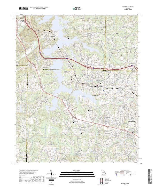
Acworth and the surrounding Georgia landscape are defined by the sprawling waters of Allatoona Lake and Lake Acworth, where the modern recreation of the Upper Tanyard Creek Swimming Beach meets a dense history of family and church settlements. The intersection of Bartow, Cobb, Cherokee, and Paulding counties creates a complex administrative mosaic, yet the land is bound together by the BNSF Railway and major thoroughfares like Joe Frank Harris Pkwy.
Find a feature on this map
349 named features on this map. Tap any name to fly to it.
Don’t see what you’re looking for? This feature index may not catch every label — zoom into the map to look around manually.
Map Details
Date Portrayed2024
Date Published2024
PublisherU.S. Geological Survey
Map TypeTopographic
Scale1:24000
Physical Dimensions24 x 29 inches
Editions of this 2024 Acworth Map
This is the sole edition of this map. No revisions or reprints were ever made.
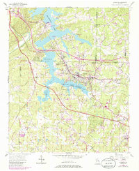
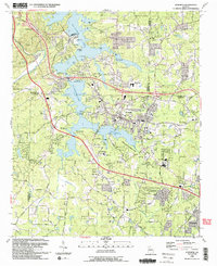
Historical Maps of Acworth Through Time
5 maps found


Featured Locations
Source Details
SourceU.S. Geological Survey
CopyrightPublic Domain