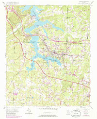
1956 Map of Acworth
USGS Topo · Published 1986About this map
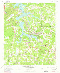
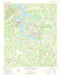
Acworth and the surrounding Cobb County landscape are defined here by the waters of Allatoona Lake, showing the area's development into a regional recreation hub by the mid-1950s. The map illustrates a transitional period where historic rural landmarks, such as Mars Hill Ch and New Hope Ch, coexist with new lakeside infrastructure like Allatoona Landing and several campgrounds including Holiday Campground. The transportation network is anchored by the Seaboard Coast Line railroad and a grid of secondary roads like Old Stilesboro Road and Due West Road that linked the dispersed farming communities. This survey provides a clear view of the educational and social centers of the era, from the Robinson School to the Community Club House, before suburban expansion further transformed this portion of North Georgia.
Find a feature on this map
59 named features on this map. Tap any name to fly to it.
Don’t see what you’re looking for? This feature index may not catch every label — zoom into the map to look around manually.
Map Details
Editions of this 1956 Acworth Map
6 editions found
Other maps of this area

1890 · Cartersville
USGS Topo · 1:125,000

1891 · Marietta
USGS Topo · 1:125,000

1891 · Cartersville
USGS Topo · 1:125,000

1895 · Marietta
USGS Topo · 1:125,000

1896 · Cartersville
USGS Topo · 1:125,000

1897 · Marietta
USGS Topo · 1:125,000

1901 · Marietta
USGS Topo · 1:125,000

1906 · Stilesboro
USGS Topo · 1:62,500

1907 · Acworth
USGS Topo · 1:62,500

1908 · Stilesboro
USGS Topo · 1:62,500