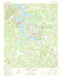
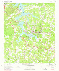
1956 Map of Acworth
USGS Topo · Published 1986About this map
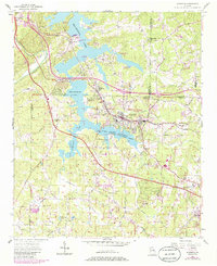
Allatoona Lake dominates the northern landscape of this region, its shoreline punctuated by numerous recreational points like the Glade Farm Campground and Allatoona Landing Campground. The terrain transitions from the water's edge into the rolling hills of Cobb, Bartow, and Paulding counties, where small rural communities and historic congregations define the social geography. Significant local landmarks include Mars Hill Ch and Mt Olivet Ch, serving as anchor points for the surrounding farmsteads. The Seaboard railroad corridor provides a vital industrial artery, running parallel to the expansion of Acworth and the smaller settlement of Allatoona. This period of the mid-1950s captures the area just as modern infrastructure began to overlay the traditional landscape, evidenced by early interchanges and named routes like Burnt Hickory Road and Stilesboro Road that once served a more agrarian economy.
Find a feature on this map
59 named features on this map. Tap any name to fly to it.
Don’t see what you’re looking for? This feature index may not catch every label — zoom into the map to look around manually.
Map Details
Editions of this 1956 Acworth Map
6 editions found
Other maps of this area

1890 · Cartersville
USGS Topo · 1:125,000

1891 · Marietta
USGS Topo · 1:125,000

1891 · Cartersville
USGS Topo · 1:125,000

1895 · Marietta
USGS Topo · 1:125,000

1896 · Cartersville
USGS Topo · 1:125,000

1897 · Marietta
USGS Topo · 1:125,000

1901 · Marietta
USGS Topo · 1:125,000

1906 · Stilesboro
USGS Topo · 1:62,500

1907 · Acworth
USGS Topo · 1:62,500

1908 · Stilesboro
USGS Topo · 1:62,500