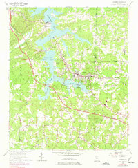
1956 Map of Acworth
USGS Topo · Published 1974About this map
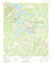
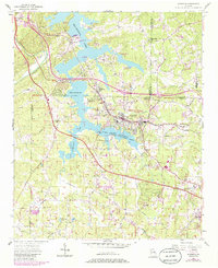
Allatoona Lake dominates the northwest quadrant of this landscape, its fingers stretching into the valleys of Pumpkinvine Creek and Tanyard Creek. The town of Acworth sits at the heart of the sheet, bordered by the Lake Acworth Recreation Area and the long-established path of the Louisville and Nashville railroad. This 1950s survey, updated with late 1960s aerial data, shows a region transitioning between its deep rural roots and postwar growth. Numerous small country sanctuaries such as Mt Zion Ch and Iron Hill Ch dot the ridges, while the Liberty Hill Cem & Ch remains a significant local landmark. The map detail extends south to the outskirts of Kennesaw, tracing a network of family-named roads like Moody Road and Ragsdale Rd that suggest the enduring genealogy of the Cobb and Cherokee county lines.
Find a feature on this map
49 named features on this map. Tap any name to fly to it.
Don’t see what you’re looking for? This feature index may not catch every label — zoom into the map to look around manually.
Map Details
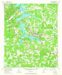
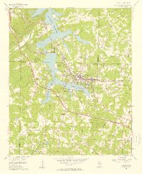
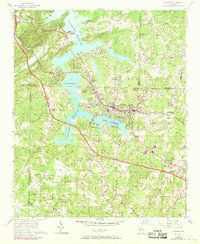
Editions of this 1956 Acworth Map
6 editions found
Other maps of this area

1890 · Cartersville
USGS Topo · 1:125,000

1891 · Marietta
USGS Topo · 1:125,000

1891 · Cartersville
USGS Topo · 1:125,000

1895 · Marietta
USGS Topo · 1:125,000

1896 · Cartersville
USGS Topo · 1:125,000

1897 · Marietta
USGS Topo · 1:125,000

1901 · Marietta
USGS Topo · 1:125,000

1906 · Stilesboro
USGS Topo · 1:62,500

1907 · Acworth
USGS Topo · 1:62,500

1908 · Stilesboro
USGS Topo · 1:62,500