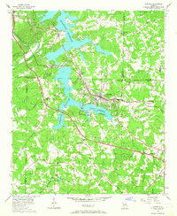
1956 Map of Acworth
USGS Topo · Published 1957About this map
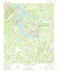
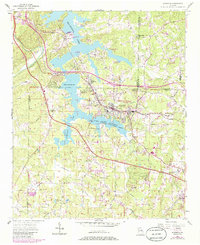
Acworth sits at the heart of this mid-1950s survey, showing a landscape defined by the relatively new waters of the Allatoona Reservoir. The town's grid is firmly established alongside the Nashville Chattanooga and St Louis railroad, while the Lake Acworth Recreation Area marks a shift toward regional leisure and tourism. The rural character of northern Cobb County remains visible through its network of winding roads like Old Stileboro Road and Burnt Hickory Road.
Find a feature on this map
53 named features on this map. Tap any name to fly to it.
Don’t see what you’re looking for? This feature index may not catch every label — zoom into the map to look around manually.
Map Details
Editions of this 1956 Acworth Map
6 editions found
Other maps of this area

1890 · Cartersville
USGS Topo · 1:125,000

1891 · Marietta
USGS Topo · 1:125,000

1891 · Cartersville
USGS Topo · 1:125,000

1895 · Marietta
USGS Topo · 1:125,000

1896 · Cartersville
USGS Topo · 1:125,000

1897 · Marietta
USGS Topo · 1:125,000

1901 · Marietta
USGS Topo · 1:125,000

1906 · Stilesboro
USGS Topo · 1:62,500

1907 · Acworth
USGS Topo · 1:62,500

1908 · Stilesboro
USGS Topo · 1:62,500