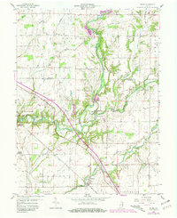
1959 Map of Adams
USGS Topo · Published 1981About this map
The Flatrock River carves a winding path through this portion of Decatur and Rush Counties, defining the drainage for a landscape shaped by early Indiana transportation and agriculture. The historic Michigan Road cuts diagonally across the terrain, passing through the established community of Saint Omer and near the settlement of Saint Paul. These corridors were vital for 19th-century commerce, connecting local farms to regional markets.
Find a feature on this map
38 named features on this map. Tap any name to fly to it.
Don’t see what you’re looking for? This feature index may not catch every label — zoom into the map to look around manually.
Map Details
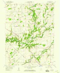
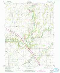
Editions of this 1959 Adams Map
3 editions found
Other maps of this area

1942 · Columbus
USGS Topo · 1:125,000

1953 · Cincinnati
USGS Topo · 1:250,000

1956 · Waldron
USGS Topo · 1:24,000

1956 · Rays Crossing
USGS Topo · 1:24,000

1957 · Cincinnati
USGS Topo · 1:250,000

1958 · Greensburg
USGS Topo · 1:24,000

1958 · Forest Hill
USGS Topo · 1:24,000

1958 · Hartsville
USGS Topo · 1:24,000

1959 · Milroy
USGS Topo · 1:24,000

1959 · Rushville
USGS Topo · 1:24,000