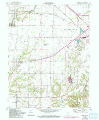
1958 Map of Forest Hill
USGS Topo · Published 1993About this map
The town of Greensburg serves as the focal point for this survey of southern Indiana, where the landscape is defined by the transition from municipal infrastructure to broad agricultural tracts. Essential local services and recreational sites are well-documented, including the Greensburg-Decatur Co Airport, a Golf Course, and the Greensburg Reservoir State Fishing Area. The mapping highlights several small settlements and rural crossroads such as Harris City, Horace, Milford, and the village of Forest Hill at the southern edge.
Find a feature on this map
38 named features on this map. Tap any name to fly to it.
Don’t see what you’re looking for? This feature index may not catch every label — zoom into the map to look around manually.
Map Details
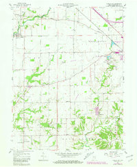
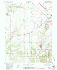
Editions of this 1958 Forest Hill Map
4 editions found
Other maps of this area

1942 · Columbus
USGS Topo · 1:125,000

1953 · Cincinnati
USGS Topo · 1:250,000

1956 · Waldron
USGS Topo · 1:24,000

1957 · Cincinnati
USGS Topo · 1:250,000

1958 · Greensburg
USGS Topo · 1:24,000

1958 · Millhousen
USGS Topo · 1:24,000

1958 · Westport
USGS Topo · 1:24,000

1958 · Forest Hill
USGS Topo · 1:24,000

1958 · Hartsville
USGS Topo · 1:24,000

1958 · Grammer
USGS Topo · 1:24,000