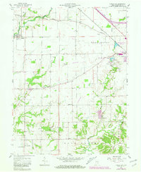
1958 Map of Forest Hill
USGS Topo · Published 1981About this map
Greensburg serves as the primary hub in this late-1950s landscape, featuring its local Fairgrounds, the County Home, and the Greensburg Reservoir State Fishing Area. The township boundaries of Clay, Washington, Marion, and Sand Creek meet amidst a sprawling agricultural grid defined by watercourses like Clifty Creek and the Muddy Fork.
Find a feature on this map
32 named features on this map. Tap any name to fly to it.
Don’t see what you’re looking for? This feature index may not catch every label — zoom into the map to look around manually.
Map Details
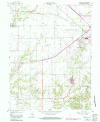
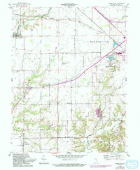
Editions of this 1958 Forest Hill Map
4 editions found
Other maps of this area

1942 · Columbus
USGS Topo · 1:125,000

1953 · Cincinnati
USGS Topo · 1:250,000

1956 · Waldron
USGS Topo · 1:24,000

1957 · Cincinnati
USGS Topo · 1:250,000

1958 · Greensburg
USGS Topo · 1:24,000

1958 · Millhousen
USGS Topo · 1:24,000

1958 · Westport
USGS Topo · 1:24,000

1958 · Forest Hill
USGS Topo · 1:24,000

1958 · Hartsville
USGS Topo · 1:24,000

1958 · Grammer
USGS Topo · 1:24,000