
1958 Map of Greensburg
USGS Topo · Published 1959About this map
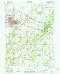
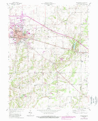
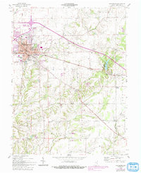
Greensburg serves as the focal point of this 1958 survey, showing the city's development around the central Courthouse and City Hall. The map detail captures the community's civic and social infrastructure during the late 1950s, including the County Memorial Hospital, the Ymca, and the Odd Fellows Home. Transportation routes like the New York Central railroad and the Michigan road define the town's orientation, while the surrounding countryside is dotted with small rural schools such as Billings Sch and Hazelrigg Sch.
Find a feature on this map
46 named features on this map. Tap any name to fly to it.
Don’t see what you’re looking for? This feature index may not catch every label — zoom into the map to look around manually.
Map Details
Editions of this 1958 Greensburg Map
4 editions found
Other maps of this area

1942 · Columbus
USGS Topo · 1:125,000

1946 · Osgood
USGS Topo · 1:24,000

1946 · New Point
USGS Topo · 1:24,000

1953 · Cincinnati
USGS Topo · 1:250,000

1957 · Cincinnati
USGS Topo · 1:250,000

1958 · Millhousen
USGS Topo · 1:24,000

1958 · Westport
USGS Topo · 1:24,000

1958 · Forest Hill
USGS Topo · 1:24,000

1958 · Clarksburg
USGS Topo · 1:24,000

1959 · Milroy
USGS Topo · 1:24,000