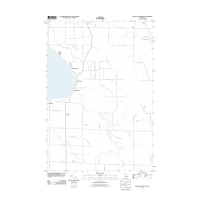
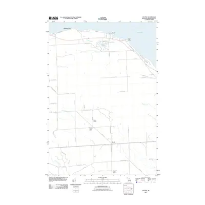
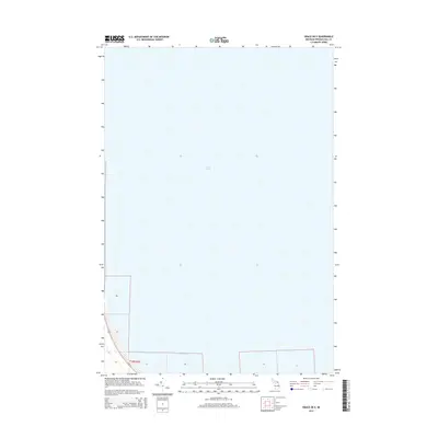
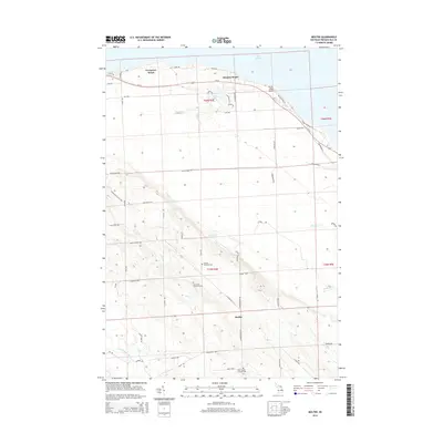
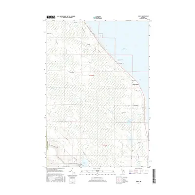
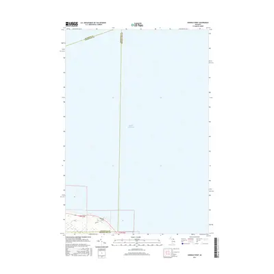
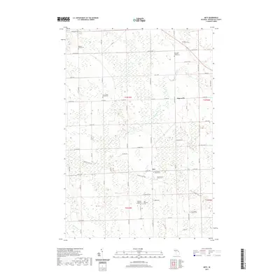
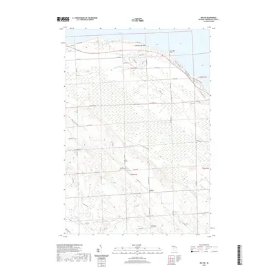
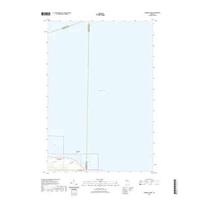
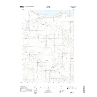
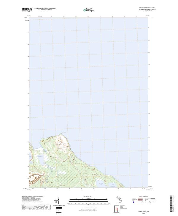
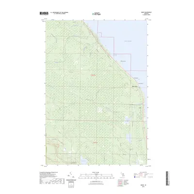
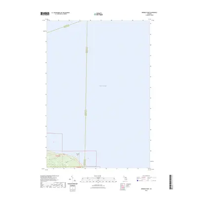
1971 Map of Adams Point
USGS Topo · Published 1974About this map
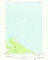
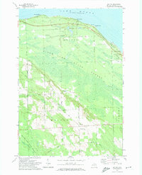
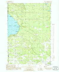
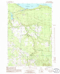
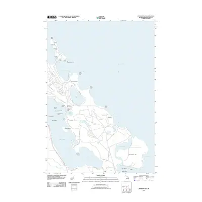
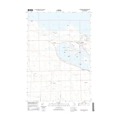
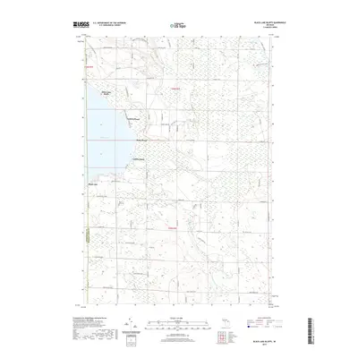
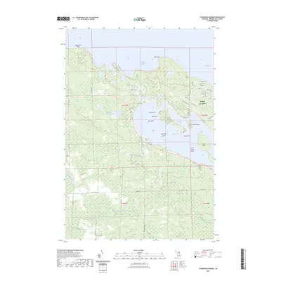
Adams Point projects into the expansive waters of Lake Huron on this northern Michigan peninsula, where industrial activity and coastal hydrology define the landscape of Pulawski. A large Quarry dominates the landform at the point, indicating the region's significant extractive history during the early 1970s. This industrial footprint is supported by the Detroit and Mackinac railroad, which skirts the western edge of the land near Little Lake.
Find a feature on this map
10 named features on this map. Tap any name to fly to it.
Don’t see what you’re looking for? This feature index may not catch every label — zoom into the map to look around manually.
Map Details
Editions of this 1971 Adams Point Map
This is the sole edition of this map. No revisions or reprints were ever made.
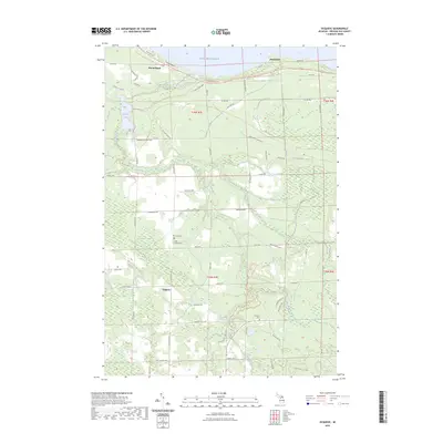
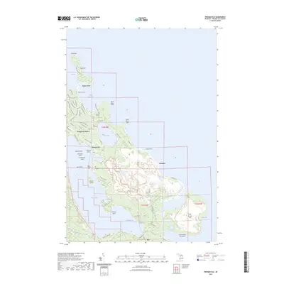
Historical Maps of Pulawski Township Through Time
66 maps found
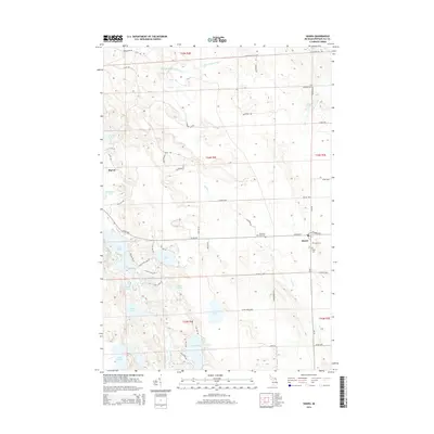
1958 Grace
Presque Isle County, MI
1971 Adams Point
Presque Isle County, MI
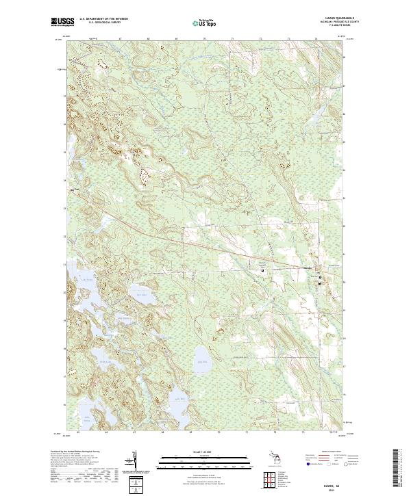
1971 Hawks
Presque Isle County, MI
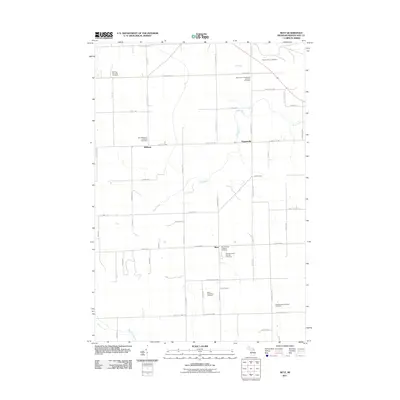
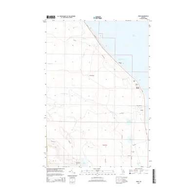
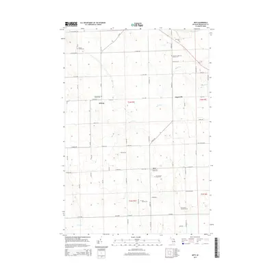
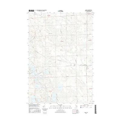
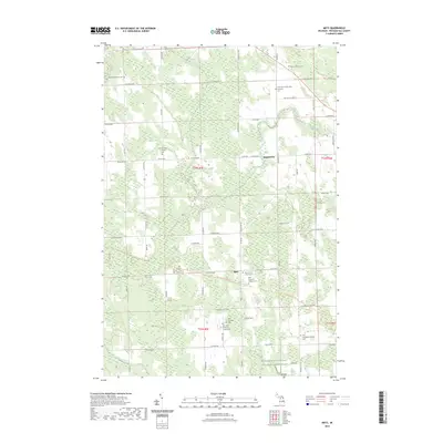
1971 Metz
Presque Isle County, MI
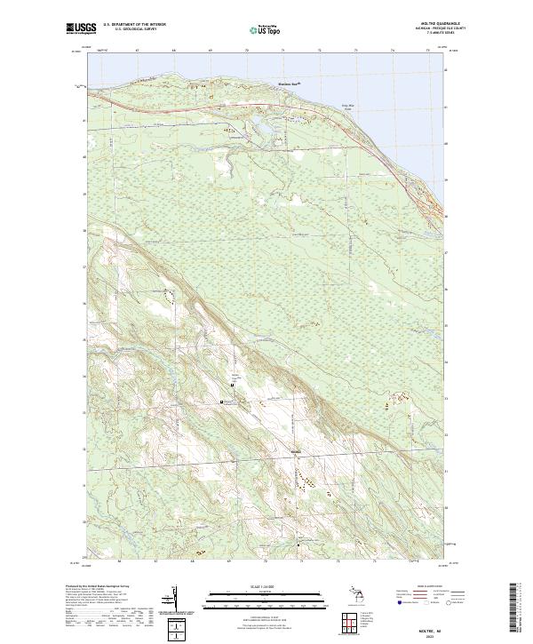
1971 Moltke
Presque Isle County, MI
1971 Presque Isle
Presque Isle County, MI
1971 Thompsons Harbor
Presque Isle County, MI
1982 Grace
Presque Isle County, MI
1982 Nilemile Point
Presque Isle County, MI
1986 Black Lake Bluffs
Presque Isle County, MI
1986 Ocqueoc
Presque Isle County, MI
2011 Adams Point
Presque Isle County, MI
2011 Black Lake Bluffs
Presque Isle County, MI
2011 Grace OE E
Presque Isle County, MI
2011 Grace
Presque Isle County, MI
2011 Hawks
Presque Isle County, MI
2011 Metz
Presque Isle County, MI
2011 Moltke
Presque Isle County, MI
2011 Ninemile Point
Presque Isle County, MI
2011 Ocqueoc
Presque Isle County, MI
2011 Presque Isle
Presque Isle County, MI
2011 Thompsons Harbor
Presque Isle County, MI
2014 Adams Point
Presque Isle County, MI
2014 Black Lake Bluffs
Presque Isle County, MI
2014 Grace OE E
Presque Isle County, MI
2014 Grace
Presque Isle County, MI
2014 Hawks
Presque Isle County, MI
2014 Metz
Presque Isle County, MI
2014 Moltke
Presque Isle County, MI
2014 Ninemile Point
Presque Isle County, MI
2014 Ocqueoc
Presque Isle County, MI
2014 Presque Isle
Presque Isle County, MI
2014 Thompsons Harbor
Presque Isle County, MI
2017 Adams Point
Presque Isle County, MI
2017 Black Lake Bluffs
Presque Isle County, MI
2017 Grace OE E
Presque Isle County, MI
2017 Grace
Presque Isle County, MI
2017 Hawks
Presque Isle County, MI
2017 Metz
Presque Isle County, MI
2017 Moltke
Presque Isle County, MI
2017 Ninemile Point
Presque Isle County, MI

2017 Ocqueoc
Presque Isle County, MI
2017 Presque Isle
Presque Isle County, MI
2017 Thompsons Harbor
Presque Isle County, MI
2019 Adams Point
Presque Isle County, MI
2019 Black Lake Bluffs
Presque Isle County, MI
2019 Grace OE E
Presque Isle County, MI
2019 Grace
Presque Isle County, MI
2019 Hawks
Presque Isle County, MI
2019 Metz
Presque Isle County, MI
2019 Moltke
Presque Isle County, MI
2019 Ninemile Point
Presque Isle County, MI
2019 Ocqueoc
Presque Isle County, MI
2019 Presque Isle
Presque Isle County, MI
2019 Thompsons Harbor
Presque Isle County, MI
2023 Adams Point
Presque Isle County, MI
2023 Black Lake Bluffs
Presque Isle County, MI
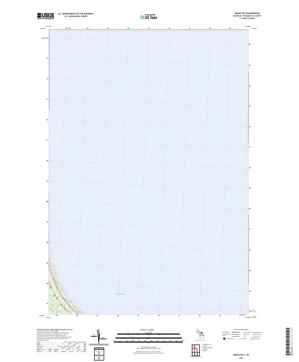
2023 Grace OE E
Presque Isle County, MI
2023 Grace
Presque Isle County, MI
2023 Hawks
Presque Isle County, MI
2023 Metz
Presque Isle County, MI
2023 Moltke
Presque Isle County, MI
2023 Ninemile Point
Presque Isle County, MI
2023 Ocqueoc
Presque Isle County, MI
2023 Presque Isle
Presque Isle County, MI
2023 Thompsons Harbor
Presque Isle County, MI