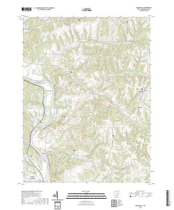
2023 Map of Adamsville
USGS Topo · Published 2023About this map
The Muskingum River flows through the western edge of this Muskingum County landscape, carving a path past Copeland Island, Jackson Island, and the distinctive Rock Cut formation. This modern survey illustrates a deeply dissected terrain of ridges and hollows, where small settlements like Adamsville and Spencer serve as local hubs for a network of winding township and county roads. The region's history is anchored by its numerous small burial grounds and rural congregations, including the Adamsville Baptist Cem, Bethesda Church, and Washington Baptist Cem. The drainage patterns of Symmes Creek and its branches define the central topography, while the southern reach extends toward the outskirts of North Zanesville. This map provides a detailed view of the rural infrastructure and family-named landmarks that have persisted through generations of land division across several township ranges.
Find a feature on this map
75 named features on this map. Tap any name to fly to it.
Don’t see what you’re looking for? This feature index may not catch every label — zoom into the map to look around manually.
Map Details
Editions of this 2023 Adamsville Map
This is the sole edition of this map. No revisions or reprints were ever made.
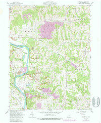
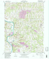
Historical Maps of Drake Through Time
3 maps found