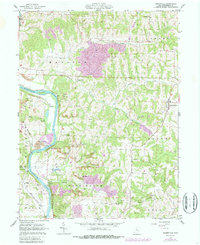
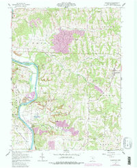
1962 Map of Adamsville
USGS Topo · Published 1987About this map
The Muskingum River dominates the western edge of this Muskingum County landscape, carving through a region defined by agricultural valleys and active resource extraction. Small rural communities like Adamsville and Gilbert serve as anchors for a network of winding roads and hillside farms. The impact of the coal industry is evident in the numerous Strip Mine operations scattered throughout the townships of Madison, Salem, and Washington, showing how the land was being reshaped in the mid-20th century.
Find a feature on this map
42 named features on this map. Tap any name to fly to it.
Don’t see what you’re looking for? This feature index may not catch every label — zoom into the map to look around manually.
Map Details
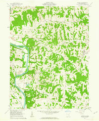
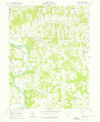
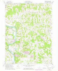
Editions of this 1962 Adamsville Map
5 editions found
Other maps of this area

1908 · Conesville
USGS Topo · 1:62,500

1910 · Frazeysburg
USGS Topo · 1:62,500

1910 · Philo
USGS Topo · 1:62,500

1910 · Zanesville
USGS Topo · 1:62,500

1910 · Conesville
USGS Topo · 1:62,500

1947 · Columbus
USGS Topo · 1:250,000

1949 · Clarksburg
USGS Topo · 1:250,000

1950 · Marion
USGS Topo · 1:250,000

1951 · Canton
USGS Topo · 1:250,000

1953 · Canton
USGS Topo · 1:250,000