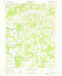
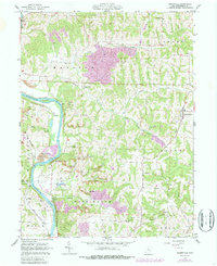
1962 Map of Adamsville
USGS Topo · Published 1975About this map
The Muskingum River dominates the western landscape of this mid-century survey, flanked by the riverfront settlements of Gilbert and Drake. The valley's industrial character is defined by extensive extraction, with dozens of Strip Mines and several Gas Wells dotting the ridges between Symmes Creek and Salt Creek. Near the river, the Ellis Dam and a Gaging Station monitor the water's flow, while the Powelson Wildlife Area preserves a significant stretch of the river's western bank.
Find a feature on this map
52 named features on this map. Tap any name to fly to it.
Don’t see what you’re looking for? This feature index may not catch every label — zoom into the map to look around manually.
Map Details
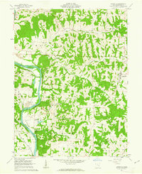
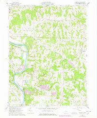
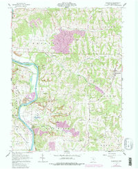
Editions of this 1962 Adamsville Map
5 editions found
Other maps of this area

1908 · Conesville
USGS Topo · 1:62,500

1910 · Frazeysburg
USGS Topo · 1:62,500

1910 · Philo
USGS Topo · 1:62,500

1910 · Zanesville
USGS Topo · 1:62,500

1910 · Conesville
USGS Topo · 1:62,500

1947 · Columbus
USGS Topo · 1:250,000

1949 · Clarksburg
USGS Topo · 1:250,000

1950 · Marion
USGS Topo · 1:250,000

1951 · Canton
USGS Topo · 1:250,000

1953 · Canton
USGS Topo · 1:250,000