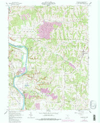
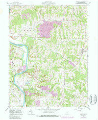
1962 Map of Adamsville
USGS Topo · Published 1987About this map
The Muskingum River dominates this landscape, serving as a corridor for transport and recreation through eastern Ohio. In the early 1960s, the river valley supported diverse land uses, from the industrial Gravel Pit near Ellis Dam to the conservation efforts at the Zanesville State Nursery. The area is characterized by an intricate network of small streams like Salt Creek and South Branch Symmes Creek, which carve through the terrain between the settlements of Adamsville and Gilbert.
Find a feature on this map
44 named features on this map. Tap any name to fly to it.
Don’t see what you’re looking for? This feature index may not catch every label — zoom into the map to look around manually.
Map Details
Editions of this 1962 Adamsville Map
5 editions found
Other maps of this area

1908 · Conesville
USGS Topo · 1:62,500

1910 · Frazeysburg
USGS Topo · 1:62,500

1910 · Philo
USGS Topo · 1:62,500

1910 · Zanesville
USGS Topo · 1:62,500

1910 · Conesville
USGS Topo · 1:62,500

1947 · Columbus
USGS Topo · 1:250,000

1949 · Clarksburg
USGS Topo · 1:250,000

1950 · Marion
USGS Topo · 1:250,000

1951 · Canton
USGS Topo · 1:250,000

1953 · Canton
USGS Topo · 1:250,000