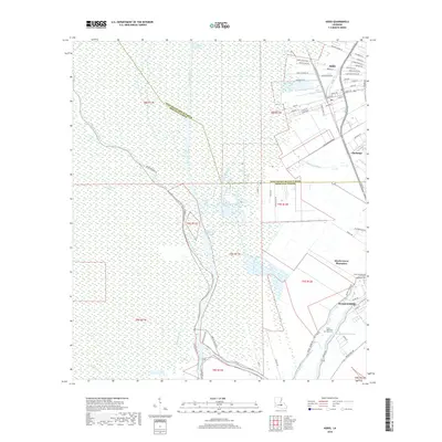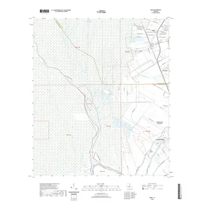
2024 Map of Addis
USGS Topo · Published 2024About this map
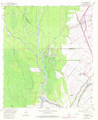
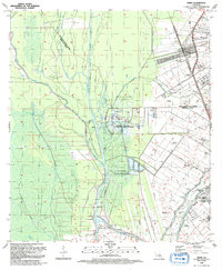
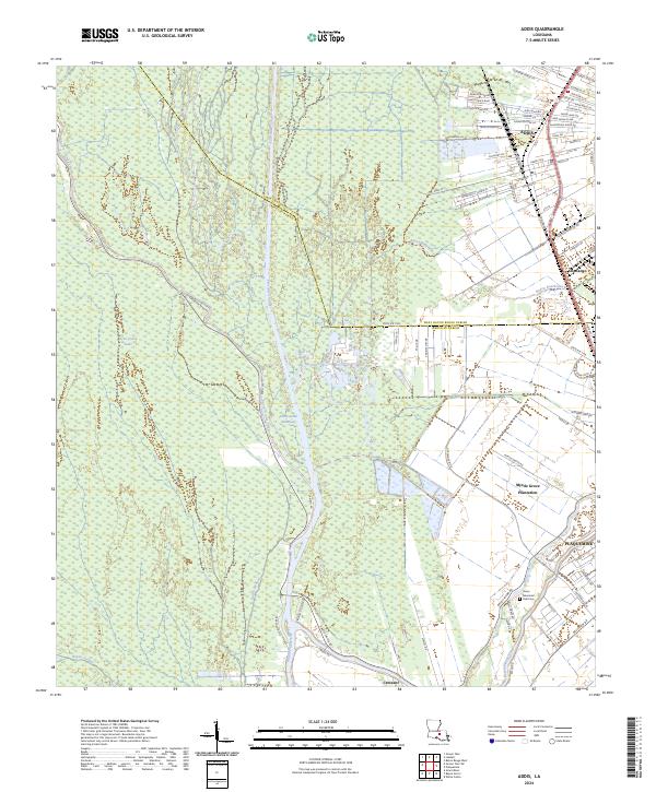
The town of Addis stands at a pivotal junction of water and road transport where the West Baton Rouge and Iberville Parish lines meet. This landscape is defined by its complex drainage and navigation network, anchored by the Port Allen Canal and the Intracoastal Waterway. These modern engineering feats intersect older natural watercourses like Bayou Bourbeaux and Bayou Grosse Tete, illustrating the region's evolution from a river-dependent agricultural area into a strategic corridor for maritime commerce. In the south, the city of Plaquemine and Myrtle Grove Plantation show the transition from historic landholdings to contemporary residential and industrial patterns.
Find a feature on this map
84 named features on this map. Tap any name to fly to it.
Don’t see what you’re looking for? This feature index may not catch every label — zoom into the map to look around manually.
Map Details
Editions of this 2024 Addis Map
This is the sole edition of this map. No revisions or reprints were ever made.
Historical Maps of Plaquemine Through Time
7 maps found