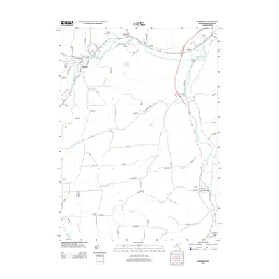
2013 Map of Addison
USGS Topo · Published 2013About this map
The Canisteo River and Tioga River converge in this Southern Tier landscape, defining a region where water and transport have long dictated settlement patterns. The village of Addison serves as a primary hub, situated where Tuscarora Cr and Goodhue Cr meet the Canisteo. To the east, the hamlets of Presho and Erwins occupy the fertile valley floors, while Lindley sits further south near the confluence of Morgan Cr and the Tioga River.
Find a feature on this map
121 named features on this map. Tap any name to fly to it.
Don’t see what you’re looking for? This feature index may not catch every label — zoom into the map to look around manually.
Map Details
Editions of this 2013 Addison Map
This is the sole edition of this map. No revisions or reprints were ever made.
Other maps of this area

1900 · Tioga
USGS Topo · 1:62,500

1900 · Elkland
USGS Topo · 1:62,500

1902 · Tioga
USGS Topo · 1:62,500

1914 · Corning
USGS Topo · 1:62,500

1924 · Woodhull
USGS Topo · 1:48,000

1926 · Woodhull
USGS Topo · 1:62,500

1944 · Woodhull
USGS Topo · 1:62,500

1944 · Corning
USGS Topo · 1:62,500

1950 · Elmira
USGS Topo · 1:250,000

1953 · Campbell
USGS Topo · 1:24,000