
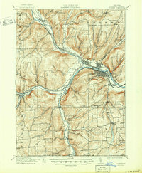
1914 Map of Corning
USGS Topo · Published 1914About this map
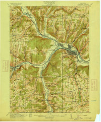
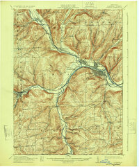
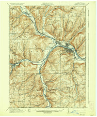
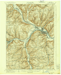
The Chemung River confluence near Painted Post serves as the industrial and transit anchor for this Steuben County landscape just before the First World War. This territory is a dense network of valley settlements and upland school districts, where the Cohocton River and Canisteo River join to form the Chemung. These waterways are mirrored by the steel of the Erie and Western Railroad and the Rochester Division, which funneled timber and goods through rail hubs like Corning and Addison.
Find a feature on this map
98 named features on this map. Tap any name to fly to it.
Don’t see what you’re looking for? This feature index may not catch every label — zoom into the map to look around manually.
Map Details
Editions of this 1914 Corning Map
6 editions found
Other maps of this area

1895 · Elmira
USGS Topo · 1:62,500

1898 · Watkins Glen
USGS Topo · 1:62,500

1900 · Tioga
USGS Topo · 1:62,500

1900 · Elkland
USGS Topo · 1:62,500

1901 · Watkins
USGS Topo · 1:62,500

1902 · Tioga
USGS Topo · 1:62,500

1903 · Hammondsport
USGS Topo · 1:62,500

1905 · Watkins Glen
USGS Topo · 1:125,000

1910 · Bath
USGS Topo · 1:62,500

1924 · Woodhull
USGS Topo · 1:48,000