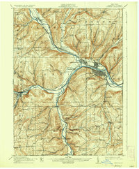
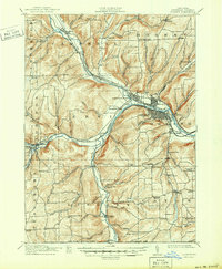
1914 Map of Corning
USGS Topo · Published 1935About this map
Corning and Painted Post anchor the confluence of the Cohocton River, Tioga River, and Canisteo River where they join to form the Chemung River. This river junction served as a major industrial and transportation hub, illustrated by the dense network of the Erie RR and the Delaware Lackawanna and Western RR winding through the valley floors. The surrounding uplands are defined by smaller rural settlements like Caton, Lindley, and Hornby, each connected by a grid of schoolhouses such as Green Hill School, Stony Knoll School, and the patriotically named Liberty Pole School.
Find a feature on this map
89 named features on this map. Tap any name to fly to it.
Don’t see what you’re looking for? This feature index may not catch every label — zoom into the map to look around manually.
Map Details
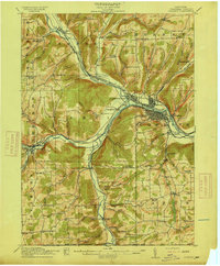
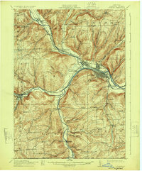
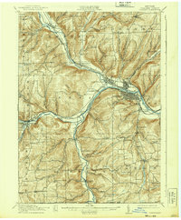
Editions of this 1914 Corning Map
6 editions found
Other maps of this area

1895 · Elmira
USGS Topo · 1:62,500

1898 · Watkins Glen
USGS Topo · 1:62,500

1900 · Tioga
USGS Topo · 1:62,500

1900 · Elkland
USGS Topo · 1:62,500

1901 · Watkins
USGS Topo · 1:62,500

1902 · Tioga
USGS Topo · 1:62,500

1903 · Hammondsport
USGS Topo · 1:62,500

1905 · Watkins Glen
USGS Topo · 1:125,000

1910 · Bath
USGS Topo · 1:62,500

1914 · Corning
USGS Topo · 1:62,500