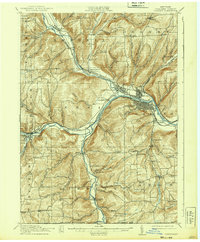
1914 Map of Corning
USGS Topo · Published 1939About this map
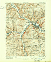
Corning and Painted Post serve as the industrial anchors of this Steuben County landscape, situated where the Chemung River meets its major tributaries. The early 20th-century transportation network is remarkably dense, featuring the Erie RR, the Delaware Lackawanna and Western RR, and the New York Central and Hudson River RR as they navigate the river valleys. Away from the rail corridors, the terrain is defined by a grid of small schoolhouses and rural crossroads such as Lumber City School, Stony Knoll School, and Steamtown. The convergence of the Canisteo River and Cowanesque River near Presho highlights the importance of these waterways in shaping early New York settlement patterns. This map documents a period of established river-valley industry and a high density of neighborhood institutions.
Find a feature on this map
91 named features on this map. Tap any name to fly to it.
Don’t see what you’re looking for? This feature index may not catch every label — zoom into the map to look around manually.
Map Details
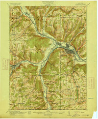
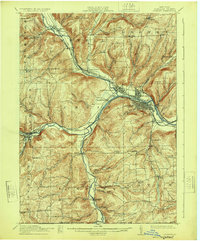
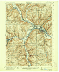
Editions of this 1914 Corning Map
6 editions found
Other maps of this area

1895 · Elmira
USGS Topo · 1:62,500

1898 · Watkins Glen
USGS Topo · 1:62,500

1900 · Tioga
USGS Topo · 1:62,500

1900 · Elkland
USGS Topo · 1:62,500

1901 · Watkins
USGS Topo · 1:62,500

1902 · Tioga
USGS Topo · 1:62,500

1903 · Hammondsport
USGS Topo · 1:62,500

1905 · Watkins Glen
USGS Topo · 1:125,000

1910 · Bath
USGS Topo · 1:62,500

1914 · Corning
USGS Topo · 1:62,500