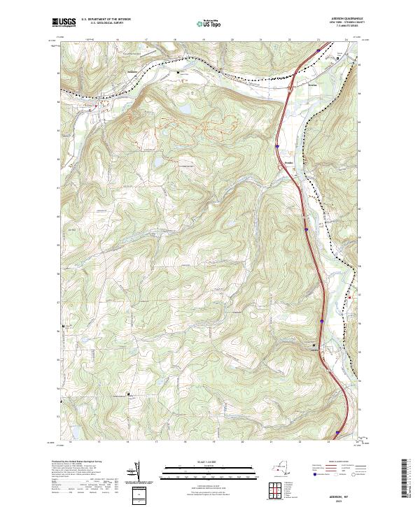
2023 Map of Addison
USGS Topo · Published 2023About this map
Addison and Erwins occupy the northern reaches of this Steuben County landscape, where the Canisteo River flows eastward to join the Tioga River. The river valley serves as a primary corridor for transit and settlement, contrasting with the steep hills and drainage basins of the North Branch Glendening Creek and South Branch Glendening Creek to the south. This modern survey illustrates the enduring patterns of rural New York, from the small-scale aviation at Towner Farm Airport to the various family and community burial grounds that dot the hillsides, including Erwin Cem and the Liberty Pole Cem. At the southern edge of the sheet, the settlement of Lindley sits near the confluence of Morgan Creek and the Tioga River, maintaining its position along the valley floor. The map also documents a network of recreational paths like the Beaver Pond Trl and Squirrel Trl nestled near Pinnacle Rd.
Find a feature on this map
107 named features on this map. Tap any name to fly to it.
Don’t see what you’re looking for? This feature index may not catch every label — zoom into the map to look around manually.
Map Details
Editions of this 2023 Addison Map
This is the sole edition of this map. No revisions or reprints were ever made.
Other maps of this area

1900 · Tioga
USGS Topo · 1:62,500

1900 · Elkland
USGS Topo · 1:62,500

1902 · Tioga
USGS Topo · 1:62,500

1914 · Corning
USGS Topo · 1:62,500

1924 · Woodhull
USGS Topo · 1:48,000

1926 · Woodhull
USGS Topo · 1:62,500

1944 · Woodhull
USGS Topo · 1:62,500

1944 · Corning
USGS Topo · 1:62,500

1950 · Elmira
USGS Topo · 1:250,000

1953 · Campbell
USGS Topo · 1:24,000