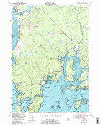
1948 Map of Addison
USGS Topo · Published 1978About this map
The coastal village of Addison sits at the head of Addison Pt where the Pleasant River meets the Atlantic, serving as a hub for the scattered maritime communities of Washington County in the late 1940s. The landscape is defined by its convoluted shoreline, where inland heights like The Highlands and Porcupine Hill descend into a network of bays and coves. The settlement pattern follows the shore and narrow roads, connecting small locales such as South Addison, Tracy Corners, and Bryant Corners.
Find a feature on this map
79 named features on this map. Tap any name to fly to it.
Don’t see what you’re looking for? This feature index may not catch every label — zoom into the map to look around manually.
Map Details
Editions of this 1948 Addison Map
2 editions found
Other maps of this area

1902 · Cherryfield
USGS Topo · 1:62,500

1904 · Cherryfield
USGS Topo · 1:62,500

1904 · Petit Manan
USGS Topo · 1:62,500

1921 · Great Wass Island
USGS Topo · 1:62,500

1921 · Columbia Falls
USGS Topo · 1:62,500

1921 · Columbia Falls
USGS Topo · 1:62,500

1941 · Columbia Falls
USGS Topo · 1:62,500

1942 · Cherryfield
USGS Topo · 1:62,500

1942 · Columbia Falls
USGS Topo · 1:62,500

1948 · Jonesport
USGS Topo · 1:24,000