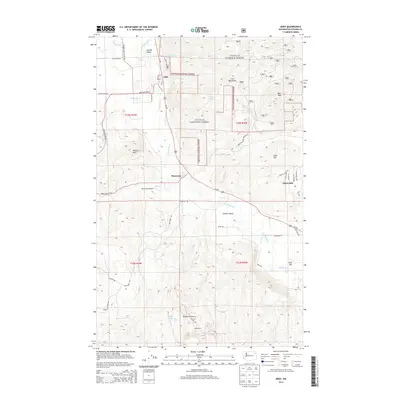
2014 Map of Addy
USGS Topo · Published 2014About this map
The Colville River carves a broad agricultural path through the Colville Valley on this Stevens County survey, highlighting the corridor where transportation and settlement have historically concentrated. The Burlington Northern Santa Fe railway and Us 395 serve as the primary north-south arteries, linking the communities of Addy, Bluecreek, and the edge of Chewelah. This area reflects a diverse rural economy where valley floor farming meets the industrial extraction of the Red Quarry and the expansive timberlands of the Colville National Forest. Surrounding the valley, prominent peaks like Gold Hill, Deer Mtn, and the Iron Mountains define the local topography, while smaller aviation needs are met by the Bluecreek Airport. The mapping details the transition from the fertile river basin to the rugged drainages of McKale Canyon and Stranger Cr.
Find a feature on this map
45 named features on this map. Tap any name to fly to it.
Don’t see what you’re looking for? This feature index may not catch every label — zoom into the map to look around manually.
Map Details
Editions of this 2014 Addy Map
This is the sole edition of this map. No revisions or reprints were ever made.
Other maps of this area

1927 · Chewelah
USGS Topo · 1:125,000

1930 · Chewelah
USGS Topo · 1:125,000

1958 · Sandpoint
USGS Topo · 1:250,000

1963 · Sandpoint
USGS Topo · 1:250,000

1964 · Chewelah
USGS Topo · 1:24,000

1964 · Cliff Ridge
USGS Topo · 1:24,000

1964 · Chewelah Mtn
USGS Topo · 1:62,500

1965 · Waitts Lake
USGS Topo · 1:24,000
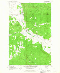
1965 · Addy
USGS Topo · 1:24,000
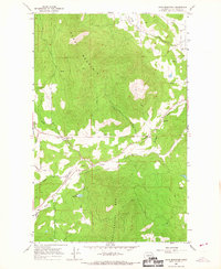
1965 · Dunn Mountain
USGS Topo · 1:24,000