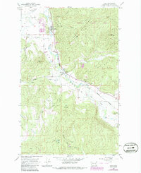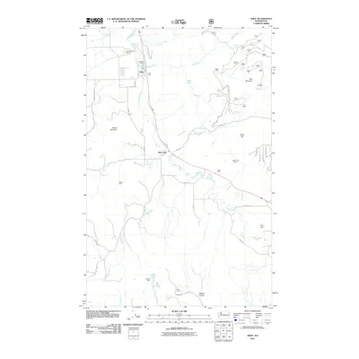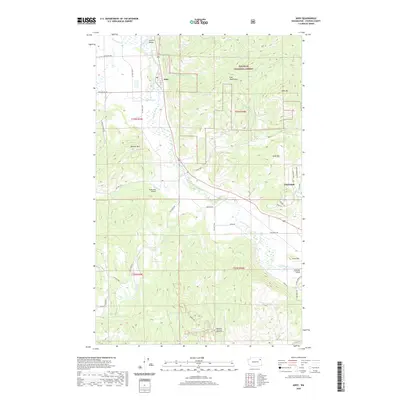
1992 Map of Addy
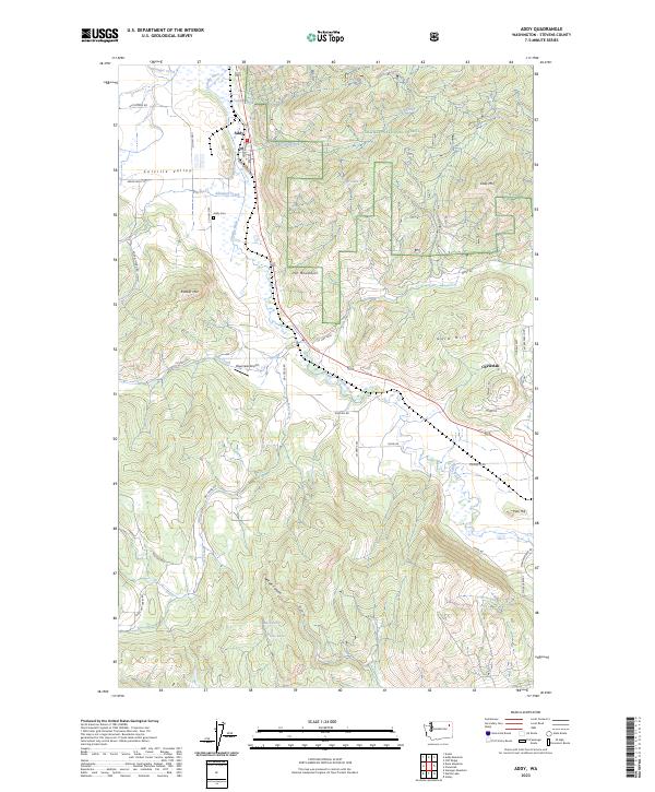
USGS Topo · Published 1997About this map
The Colville Valley serves as a vital corridor for both transport and industry in this northeastern Washington landscape during the early 1990s. The settlement of Addy and the community at Bluecreek are anchored by the Burlington Northern railroad, which follows the path of the Colville River. The area’s mineral wealth is evident through numerous extraction sites, including the Liberty Mine, Alice Mine, and Checops Mine, alongside several quarries and prospects tucked into the surrounding heights.
Find a feature on this map
39 named features on this map. Tap any name to fly to it.
Don’t see what you’re looking for? This feature index may not catch every label — zoom into the map to look around manually.
Map Details
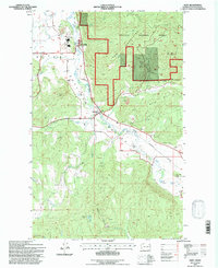
Editions of this 1992 Addy Map
This is the sole edition of this map. No revisions or reprints were ever made.
Historical Maps of Chewelah Through Time
7 maps found