Loading...
Loading map...2022 Map of Adel
USGS Topo · Published 2022About this map
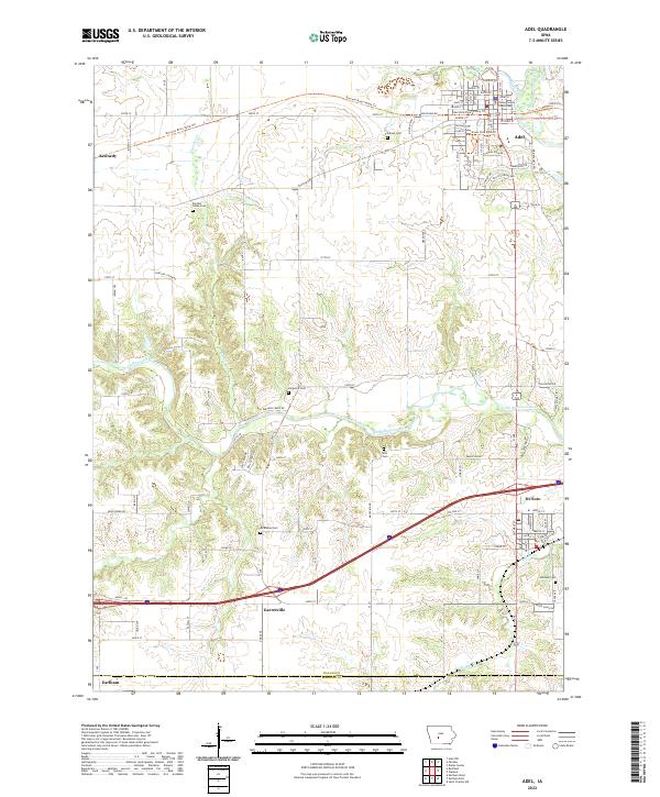
The Dallas County Courthouse stands as the central landmark of Adel, where the North Raccoon River and Mill Slough converge. This 2022 survey captures a landscape defined by the intersection of traditional agricultural heritage and modern transportation corridors. The city of Adel is mapped in detail, showing a grid of residential streets like Greene St and Prairie St transitioning into recreational paths such as the Raccoon River Valley Trl.
Find a feature on this map
65 named features on this map. Tap any name to fly to it.
Don’t see what you’re looking for? This feature index may not catch every label — zoom into the map to look around manually.
Map Details
Date Portrayed2022
Date Published2022
PublisherU.S. Geological Survey
Map TypeTopographic
Scale1:24000
Physical Dimensions24 x 29 inches
Editions of this 2022 Adel Map
This is the sole edition of this map. No revisions or reprints were ever made.
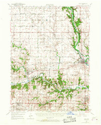
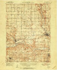
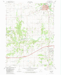
Historical Maps of Adams Township Through Time
4 maps found
Featured Locations
Source Details
SourceU.S. Geological Survey
CopyrightPublic Domain