Loading...
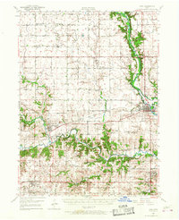
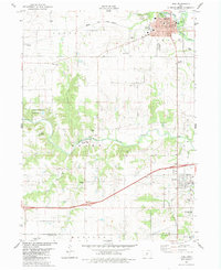
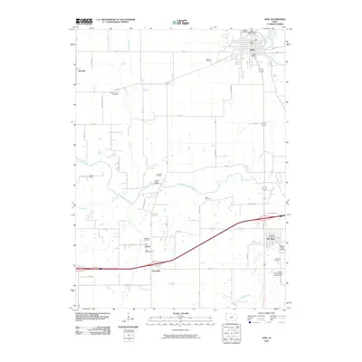
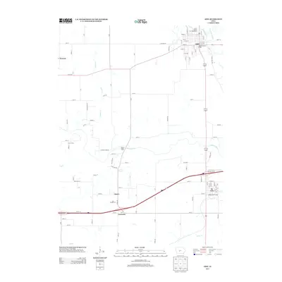
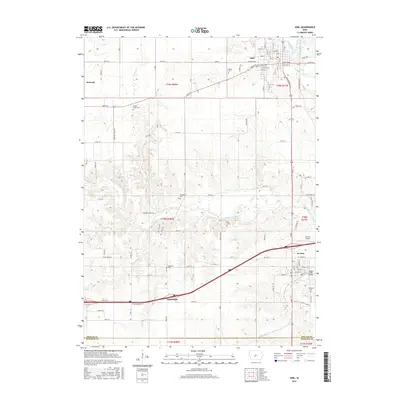
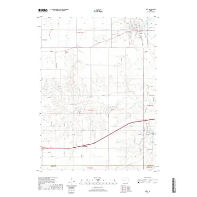
Loading map...1949 Map of Adel
USGS Topo · Published 1968About this map
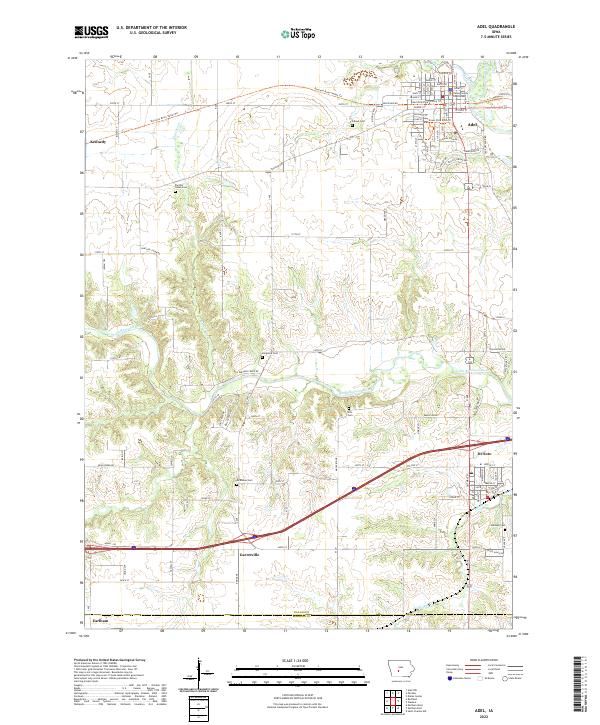
The confluence of the North Raccoon River and South Raccoon River shapes the geography of this mid-century Dallas County landscape. The rail-and-river economy is clearly defined by the Chicago Milwaukee St Paul and Pacific and Chicago and North Western lines connecting central settlements like Adel, Redfield, and Dexter. These rail corridors served a rural landscape heavily punctuated by the one-room schoolhouse system, including School No 8 and School No 5, which remained prominent features of the township structure at the time of the survey.
Find a feature on this map
61 named features on this map. Tap any name to fly to it.
Don’t see what you’re looking for? This feature index may not catch every label — zoom into the map to look around manually.
Map Details
Date Portrayed1949
Date Published1968
PublisherU.S. Geological Survey
Map TypeTopographic
Scale1:62,500
Physical Dimensions17.1 x 21 inches
Editions of this 1949 Adel Map
Historical Maps of Adel Through Time
8 maps found
Featured Locations
Source Details
SourceU.S. Geological Survey
CopyrightPublic Domain