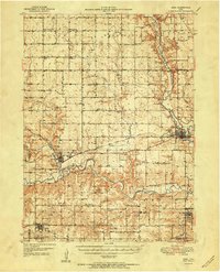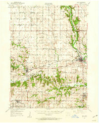
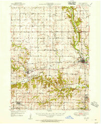
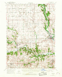
1949 Map of Adel
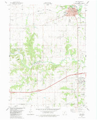
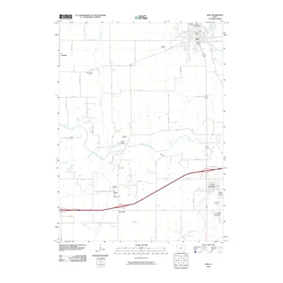
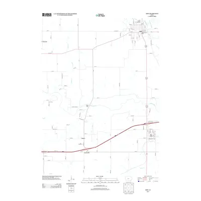
USGS Topo · Published 1960About this map
The North Raccoon River and South Raccoon River converge near Adel in this post-war survey of central Iowa. The landscape is defined by the tight bends of these waterways and the Middle Raccoon River, which flows past the settlement of Redfield. Transportation through the region relies heavily on the Chicago Milwaukee St Paul and Pacific railroad, which links the towns of Kennedy, De Soto, and Dexter. This period shows a rural society organized around a dense network of country schoolhouses, such as Lincoln Center Sch and Bear Creek Sch, and spiritual centers like the Brethren Ch and Washington Chapel. Geologists and historians can observe the numerous gravel pits along the riverbanks, illustrating the early industrial extraction of glacial deposits that supported local road building and development during the late 1940s.
Find a feature on this map
59 named features on this map. Tap any name to fly to it.
Don’t see what you’re looking for? This feature index may not catch every label — zoom into the map to look around manually.
Map Details
Editions of this 1949 Adel Map
Historical Maps of Adel Through Time
8 maps found