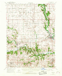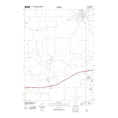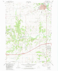
1982 Map of Adel
USGS Topo · Published 1983About this map
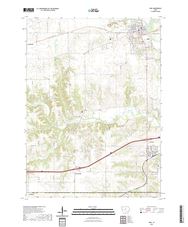
The confluence of the North Raccoon River and South Raccoon River defines the landscape of central Dallas County in the early 1980s. The county seat of Adel is the primary hub, showing its established grid near the courthouse and City Hall, while its municipal growth is evidenced by the nearby Waterworks and Sewage Disposal facilities. Transportation is dominated by the Chicago and North Western railroad corridor and the interstate bisecting the southern portion of the sheet near De Soto.
Find a feature on this map
50 named features on this map. Tap any name to fly to it.
Don’t see what you’re looking for? This feature index may not catch every label — zoom into the map to look around manually.
Map Details
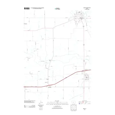
Editions of this 1982 Adel Map
This is the sole edition of this map. No revisions or reprints were ever made.
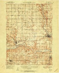
Historical Maps of Adel Through Time
8 maps found