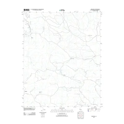
2012 Map of Adelaida
USGS Topo · Published 2012About this map
Adelaida serves as the focal point of this rural Central Coast landscape, situated at the junction of Adelaida Rd and Toyon Way. The area is defined by a network of seasonal watercourses, including the winding San Marcos Cr. and Las Tablas Cr., which carve through the terrain. Evidence of the region's agricultural and private aviation history is present through landmarks like the White Ranch and Chimney Rock Ranch, alongside the Mc Millan Airport and Mac Gillivray Airport. Genealogists will find the Adelaida Cem northwest of the main settlement, a key site for tracing local family histories. The presence of Vineyard Dr in the southeast reflects the area's established viticulture, while prominent geological features like Chimney Rock stand as fixed markers in this evolving pastoral environment.
Find a feature on this map
33 named features on this map. Tap any name to fly to it.
Don’t see what you’re looking for? This feature index may not catch every label — zoom into the map to look around manually.
Map Details
Editions of this 2012 Adelaida Map
This is the sole edition of this map. No revisions or reprints were ever made.
Other maps of this area

1919 · San Miguel
USGS Topo · 1:62,500

1919 · Paso Robles
USGS Topo · 1:62,500

1919 · Bradley
USGS Topo · 1:62,500

1919 · Adelaida
USGS Topo · 1:62,500

1932 · Adelaida
USGS Topo · 1:62,500

1941 · Bradley
USGS Topo · 1:62,500

1942 · Adelaida
USGS Topo · 1:62,500

1943 · Paso Robles
USGS Topo · 1:62,500

1947 · San Luis Obispo
USGS Topo · 1:250,000

1947 · San Miguel
USGS Topo · 1:62,500