
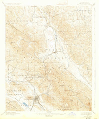
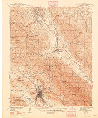
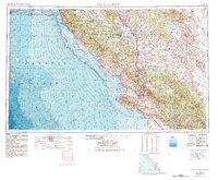
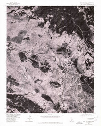
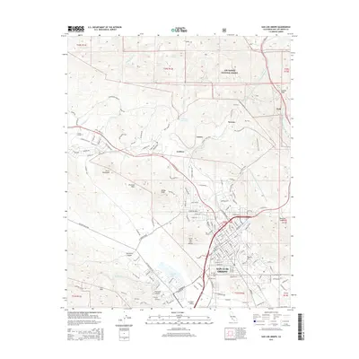
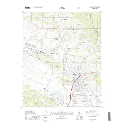
1947 Map of San Luis Obispo
USGS Topo · Published 1948About this map
The Santa Lucia Range and the complex terrain of the Los Padres National Forest dominate this post-war landscape, where military installations and coastal settlements define the local geography. Significant land use is evident at the Hunter Liggett Military Reservation and Camp Roberts Military Reservation, reflecting the era's strategic importance for the Central Coast. Along the coast, small communities like Cambria, Cayucos, and Morro Bay sit between the Pacific and the mountains, while the Southern Pacific railroad provides a vital interior link through San Luis Obispo and up the Salinas River valley.
Find a feature on this map
79 named features on this map. Tap any name to fly to it.
Don’t see what you’re looking for? This feature index may not catch every label — zoom into the map to look around manually.
Map Details
Editions of this 1947 San Luis Obispo Map
This is the sole edition of this map. No revisions or reprints were ever made.
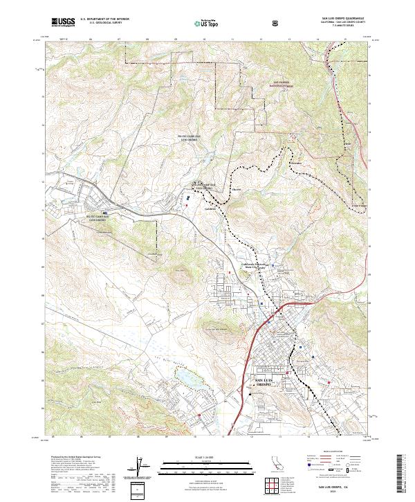
Historical Maps of San Luis Obispo Through Time
16 maps found
1897 San Luis Obispo
San Luis Obispo County, CA
1942 San Luis Obispo
San Luis Obispo County, CA
1947 San Luis Obispo
San Luis Obispo County, CA

1948 San Luis Obispo
San Luis Obispo County, CA

1952 San Luis Obispo
San Luis Obispo County, CA
1956 San Luis Obispo
San Luis Obispo County, CA

1957 San Luis Obispo
San Luis Obispo County, CA

1958 San Luis Obispo
San Luis Obispo County, CA
1965 San Luis Obispo
San Luis Obispo County, CA
1976 San Luis Obispo
San Luis Obispo County, CA
1981 San Luis Obispo
San Luis Obispo County, CA
1995 San Luis Obispo
San Luis Obispo County, CA
2012 San Luis Obispo
San Luis Obispo County, CA
2015 San Luis Obispo
San Luis Obispo County, CA
2018 San Luis Obispo
San Luis Obispo County, CA
2021 San Luis Obispo
San Luis Obispo County, CA