
1897 Map of San Luis Obispo
USGS Topo · Published 1897About this map
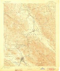
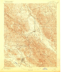
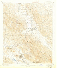
The Southern Pacific Line dominates the central corridor of this coastal California landscape, navigating the steep transition through Cuesta Pass to connect the inland and coastal regions. The city of San Luis Obispo is the primary hub at the southern end, surrounded by distinctive peaks like Cerro San Luis Obispo and Terrace Hill. To the north, the terrain transitions into the ranchlands and drainages of Atascadero and Santa Margarita.
Find a feature on this map
67 named features on this map. Tap any name to fly to it.
Don’t see what you’re looking for? This feature index may not catch every label — zoom into the map to look around manually.
Map Details
Editions of this 1897 San Luis Obispo Map
4 editions found
Other maps of this area

1897 · Port Harford
USGS Topo · 1:62,500

1897 · Cayucos
USGS Topo · 1:62,500

1897 · Arroyo Grande
USGS Topo · 1:62,500

1900 · San Luis
USGS Topo · 1:125,000

1914 · Cholame
USGS Topo · 1:125,000

1915 · Cholame
USGS Topo · 1:125,000

1917 · Cholame
USGS Topo · 1:125,000

1919 · Paso Robles
USGS Topo · 1:62,500

1919 · Adelaida
USGS Topo · 1:62,500

1922 · Pozo
USGS Topo · 1:62,500