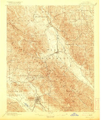
1897 Map of San Luis Obispo
USGS Topo · Published 1916About this map
The Southern Pacific Line dictates the settlement pattern of this Central Coast landscape, threading through the mountains at Cuesta Pass to connect the growing city of San Luis Obispo with northern ranching outposts. This 1895 survey illustrates a transitional era where massive Mexican land grants, such as Canada De Los Osos and Potrero De San Luis Obispo, still define the geography alongside the newer rail-stop settlements of Goldtree and Santa Margarita.
Find a feature on this map
52 named features on this map. Tap any name to fly to it.
Don’t see what you’re looking for? This feature index may not catch every label — zoom into the map to look around manually.
Map Details
Editions of this 1897 San Luis Obispo Map
4 editions found
Other maps of this area

1897 · Port Harford
USGS Topo · 1:62,500

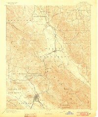
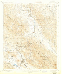
1897 · San Luis Obispo
USGS Topo · 1:62,500

1897 · Cayucos
USGS Topo · 1:62,500

1897 · Arroyo Grande
USGS Topo · 1:62,500

1900 · San Luis
USGS Topo · 1:125,000

1914 · Cholame
USGS Topo · 1:125,000

1915 · Cholame
USGS Topo · 1:125,000

1917 · Cholame
USGS Topo · 1:125,000

1919 · Paso Robles
USGS Topo · 1:62,500

1919 · Adelaida
USGS Topo · 1:62,500