
1897 Map of Cayucos
USGS Topo · Published 1897About this map
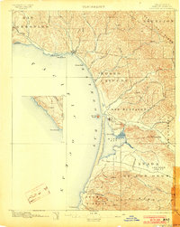
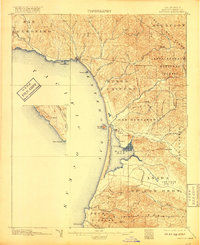
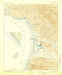
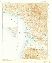
The coastal village of Cayucos serves as a focal point along this late-nineteenth-century shoreline, situated at the mouth of Little Cayucos Creek. Further south, the map illustrates the early development of Morro at the entrance to Morro Bay, shadowed by the distinctive landmark of Morro Rock. This survey records a landscape defined by extensive Mexican-era land grants, with named tracts like San Geronimo, Morro y Cayucos, and San Bernardo shaping the property lines and settlement patterns of the central California coast.
Find a feature on this map
45 named features on this map. Tap any name to fly to it.
Don’t see what you’re looking for? This feature index may not catch every label — zoom into the map to look around manually.
Map Details
Editions of this 1897 Cayucos Map
5 editions found
Other maps of this area

1897 · Port Harford
USGS Topo · 1:62,500

1897 · San Luis Obispo
USGS Topo · 1:62,500

1897 · Arroyo Grande
USGS Topo · 1:62,500

1900 · San Luis
USGS Topo · 1:125,000

1919 · Paso Robles
USGS Topo · 1:62,500

1919 · Adelaida
USGS Topo · 1:62,500

1919 · San Simeon
USGS Topo · 1:62,500

1932 · Adelaida
USGS Topo · 1:62,500

1937 · Cayucos
USGS Topo · 1:62,500

1937 · San Simeon
USGS Topo · 1:62,500