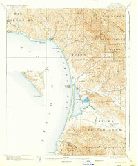
1897 Map of Cayucos
USGS Topo · Published 1937About this map
Estero Bay dominates this central California coastline, framed by the steep terrain of the Santa Lucia Range and the Pecho y Islay hills. This 1895 survey captures the landscape before significant development, highlighting the distinct geological features that define the shoreline, most notably the iconic Morro Rock standing at the entrance to Morro Bay. To the north, the small settlement of Cayucos sits near the mouth of Little Cayucos Creek, serving as a coastal outpost for the ranching and dairy lands of the San Geronimo and Morro y Cayucos land grants.
Find a feature on this map
51 named features on this map. Tap any name to fly to it.
Don’t see what you’re looking for? This feature index may not catch every label — zoom into the map to look around manually.
Map Details
Editions of this 1897 Cayucos Map
5 editions found
Other maps of this area

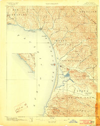
1897 · Port Harford
USGS Topo · 1:62,500

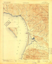
1897 · San Luis Obispo
USGS Topo · 1:62,500

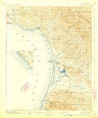
1897 · Cayucos
USGS Topo · 1:62,500

1897 · Arroyo Grande
USGS Topo · 1:62,500

1900 · San Luis
USGS Topo · 1:125,000

1919 · Paso Robles
USGS Topo · 1:62,500

1919 · Adelaida
USGS Topo · 1:62,500

1919 · San Simeon
USGS Topo · 1:62,500

1932 · Adelaida
USGS Topo · 1:62,500

1937 · Cayucos
USGS Topo · 1:62,500